
Milestone, grade II listed milestone in Wroughton, United kingdom
Location: Wroughton
Inception: 19 century
GPS coordinates: 51.52387,-1.79064
Latest update: March 8, 2025 23:14

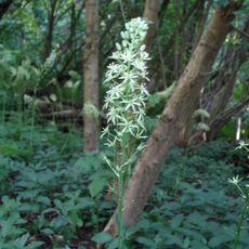
Clout's Wood
1.3 km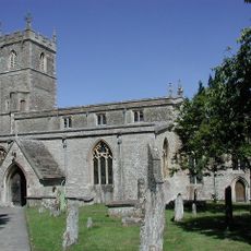
Parish Church of St John and St Helen
915 m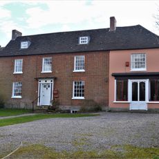
Post Office
365 m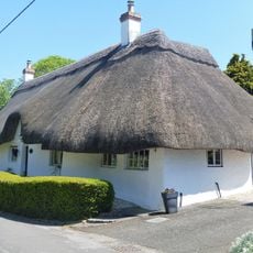
Laburnham Cottage
387 m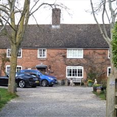
93, High Street
136 m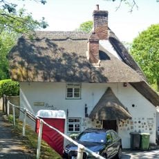
Brook House
207 m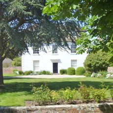
Elcombe House
1.5 km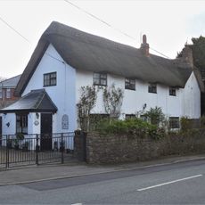
26 And 27, Brimble Hill
575 m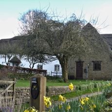
2 And 3, Green's Lane
532 m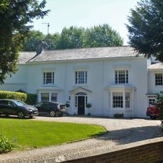
Woodham House
365 m
13, 14 And 15, High Street
325 m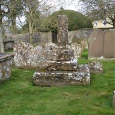
Cross in the churchyard of St John the Baptist and St Helen
904 m
The Knole
495 m
73, Prior's Hill
569 m
17, High Street
352 m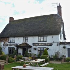
The White Hart
413 m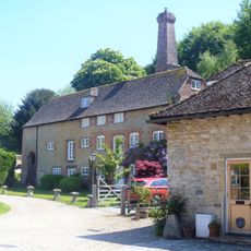
Old Mill
409 m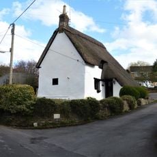
11, Green's Lane
446 m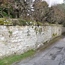
Wall To Churchyard And Street, East And South Of Wroughton House
868 m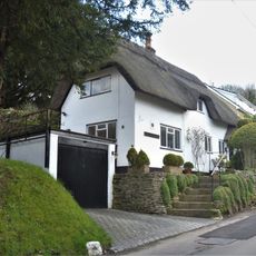
61, Prior's Hill
503 m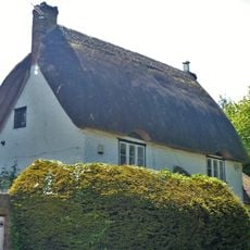
The Lodge
311 m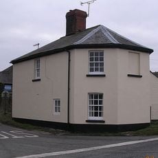
Former Toll House To West Of Burderop Farm
1.9 km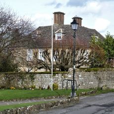
Wroughton House
860 m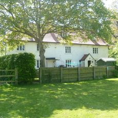
Millbrook
106 m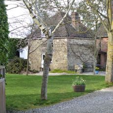
Garden Cottage To South West Of No 93
149 m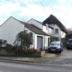
20, High Street
395 m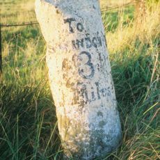
Milestone
1.5 km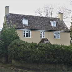
The Lodge
735 mReviews
Visited this place? Tap the stars to rate it and share your experience / photos with the community! Try now! You can cancel it anytime.
Discover hidden gems everywhere you go!
From secret cafés to breathtaking viewpoints, skip the crowded tourist spots and find places that match your style. Our app makes it easy with voice search, smart filtering, route optimization, and insider tips from travelers worldwide. Download now for the complete mobile experience.

A unique approach to discovering new places❞
— Le Figaro
All the places worth exploring❞
— France Info
A tailor-made excursion in just a few clicks❞
— 20 Minutes