
Bridge East Of A694 Leading To Lintzford House, bridge in Lintzford, County Durham, England, UK
Location: County Durham
Location: Gateshead
GPS coordinates: 54.90924,-1.76795
Latest update: October 25, 2025 13:22
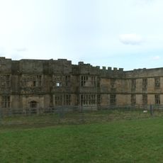
Gibside
3.1 km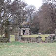
Hamsterley Hall
1.7 km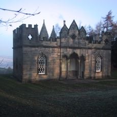
Banqueting House, Gibside
3.5 km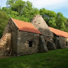
Derwentcote Steel Furnace
2 km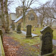
Church of St John
3.7 km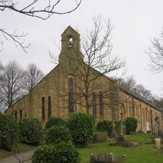
St John the Evangelist
3.1 km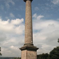
Monument To British Liberty
3.5 km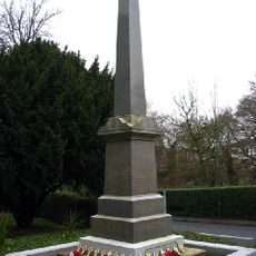
Burnopfield War Memorial
2.8 km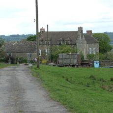
Pontop Hall
3.5 km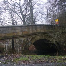
Pontburn Bridge
1 km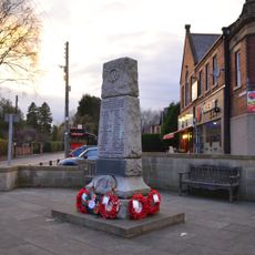
Rowlands Gill War Memorial
1.8 km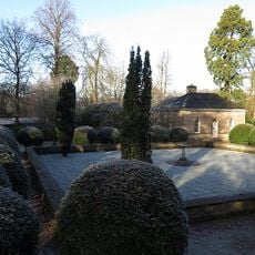
Chapel House Circa 40 Metres To North West Of Chapel
2.4 km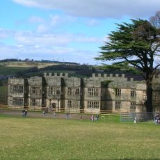
Gibside
3.1 km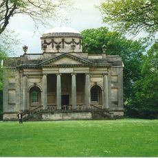
The Chapel About 350 Metres West And 650 Metres South Of Gibside Hall
2.4 km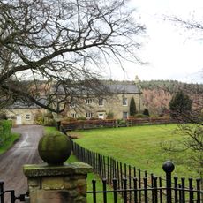
Derwent Oak Farm
1.6 km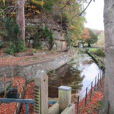
Mill Race Walls And Sluice With Piers And Sluice Keepers Shelter Adjacent
96 m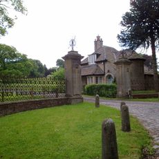
The Old Lodge At Hamsterley Hall And Wall Attached
1.1 km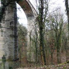
Pontburn Viaduct
971 m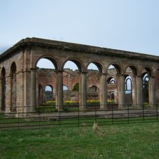
Orangery About 300 Metres West And 260 Metres South Of Gibside
2.7 km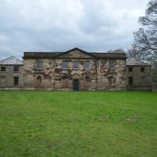
Stables To South East Of Gibside
3.3 km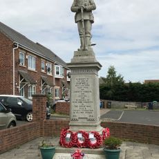
Chopwell War Memorial
3.2 km
Derwentcote Cottage
2.1 km
Hamsterley Colliery War Memorial
3.4 km
Art Studio Of Glass
2.1 km
Liberty Dragonfly
3.4 km
Work of art, sculpture
3.3 km
Work of art, sculpture
2.7 km
Work of art, sculpture
3 kmReviews
Visited this place? Tap the stars to rate it and share your experience / photos with the community! Try now! You can cancel it anytime.
Discover hidden gems everywhere you go!
From secret cafés to breathtaking viewpoints, skip the crowded tourist spots and find places that match your style. Our app makes it easy with voice search, smart filtering, route optimization, and insider tips from travelers worldwide. Download now for the complete mobile experience.

A unique approach to discovering new places❞
— Le Figaro
All the places worth exploring❞
— France Info
A tailor-made excursion in just a few clicks❞
— 20 Minutes