
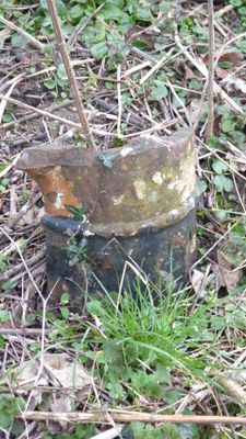
Milepost 130 Metres South Of Blackbog Burn Bridge, milestone in Denwick, Northumberland, UK
Location: Denwick
Inception: 19 century
GPS coordinates: 55.43530,-1.72401
Latest update: April 9, 2025 09:08
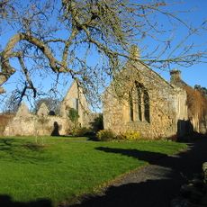
Hulne Priory
1.2 km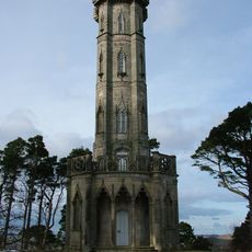
Brizlee Tower
2 km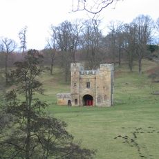
Alnwick Abbey
1.8 km
Houses Occupied By Mr Wilkinson And Mr Sparks
1.9 km
Lodge At Park Entrance 100 Metres East Of Alnwick Abbey Gatehouse
1.7 km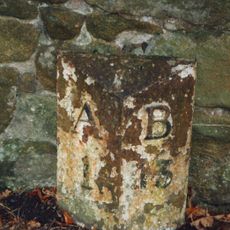
Milepost 80 Metres South Of Broom House Roundabout
1.8 km
Hulne Friary Summerhouse And Tower
1.2 km
Hulne Friary Infirmary
1.2 km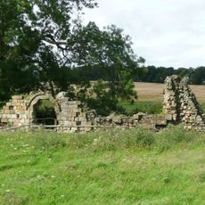
Ruins Of St Leonard's Hospital
1.8 km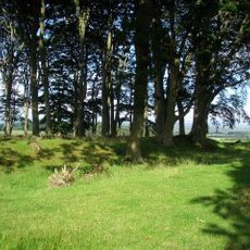
Defended settlement, 100m north west of Chester Cottage
797 m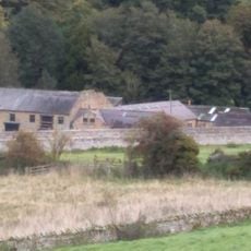
The Kennels
1.9 km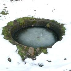
Ladys Well On East Side Of Ladys Well Drive
518 m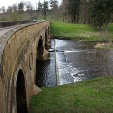
Canongate Bridge
1.8 km
White Well 120 Metres North Of Alnwick Abbey Gatehouse
1.6 km
Heiferlaw Tower
2.1 km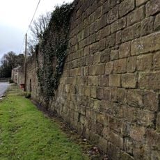
Retaining Walls
2.2 km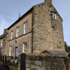
14, Walkergate
2.1 km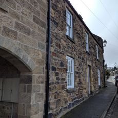
13, Canongate
2 km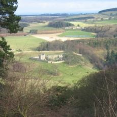
Hulne Friary Curtain Wall And Attached Structure
1.2 km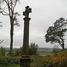
Malcolm's Cross And Remains Of Older Cross On West
1.8 km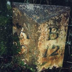
Milepost 40 Metres North Of Entrance To Heckley House
1.1 km
Milepost 180 Metres North Of Abbey Cottage
1.3 km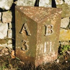
Milepost 420 Metres North Of Track To Heckley Fence
2.1 km
3, Walkergate
2.1 km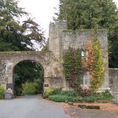
Forest Lodge And Stockingate
2.1 km
William The Lion Commemorative Stone And Wall To Each Side
2.1 km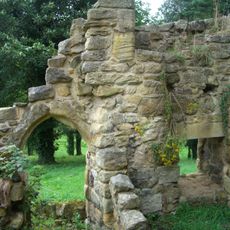
St Marys Chantry (ruins)
2.2 km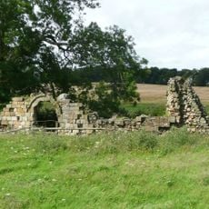
St Leonard's Hospital, Alnwick
1.8 kmReviews
Visited this place? Tap the stars to rate it and share your experience / photos with the community! Try now! You can cancel it anytime.
Discover hidden gems everywhere you go!
From secret cafés to breathtaking viewpoints, skip the crowded tourist spots and find places that match your style. Our app makes it easy with voice search, smart filtering, route optimization, and insider tips from travelers worldwide. Download now for the complete mobile experience.

A unique approach to discovering new places❞
— Le Figaro
All the places worth exploring❞
— France Info
A tailor-made excursion in just a few clicks❞
— 20 Minutes