
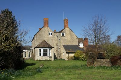
Northfield Farmhouse, farmhouse in Gosford and Water Eaton, Cherwell, Oxfordshire, UK
Location: Gosford and Water Eaton
GPS coordinates: 51.81533,-1.25236
Latest update: April 1, 2025 11:46
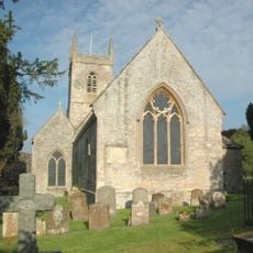
St Nicholas' Church, Islip
1.3 km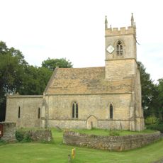
Church of the Holy Rood, Woodeaton
2.3 km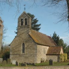
Church of St Giles
2.8 km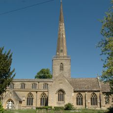
Church of St Mary
2.5 km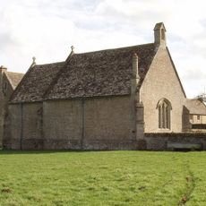
Chapel At Water Eaton Manor House
1.1 km
74 and 76, Church Street
2.5 km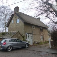
86 and 88, Church Street
2.4 km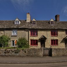
78, Church Street
2.5 km
82 and 84, Church Street
2.4 km
Kings Arms Public House And Attached Mounting Block
1.4 km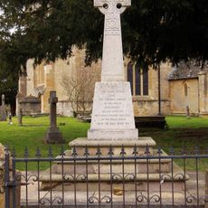
Kidlington and Hamlets War Memorial
2.5 km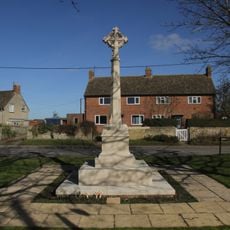
Islip (Oxfordshire) War Memorial
1.4 km
566, Banbury Road
2.8 km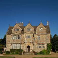
Manor House
1.2 km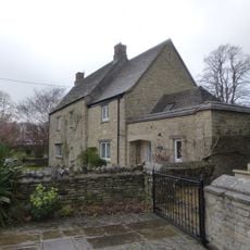
Old Priest's House
2.5 km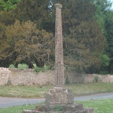
Woodeaton Cross
2.3 km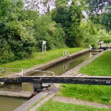
Oxford Canal Kidlington Green Lock
2.5 km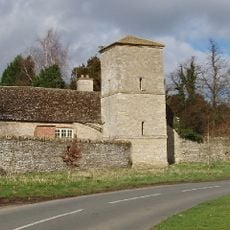
Manor House, Water Tower, Workshops And Attached Walls Approximately 70 Metres To South East
2.2 km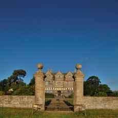
Gateway Approximately 30 Metres East Of Water Eaton Manor House
1.2 km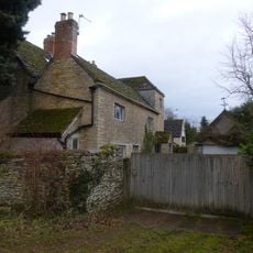
The Old Manor House
2.7 km
Model Farmhouse
2.8 km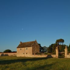
South Pavilion And Attached Walls Approximately 40 Metres East Of The Manorhouse
1.2 km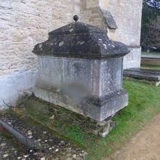
Chest tomb approximately 1/2 metre west of Church of St Mary
2.5 km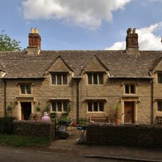
Morton Almshouses
2.4 km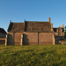
North Pavilion And Attached Walls Approximately 40 Metres North East Of The Manorhouse
1.1 km
Exeter House
2.8 km
Poyle Court
2.8 km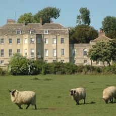
Manor House
2.1 kmReviews
Visited this place? Tap the stars to rate it and share your experience / photos with the community! Try now! You can cancel it anytime.
Discover hidden gems everywhere you go!
From secret cafés to breathtaking viewpoints, skip the crowded tourist spots and find places that match your style. Our app makes it easy with voice search, smart filtering, route optimization, and insider tips from travelers worldwide. Download now for the complete mobile experience.

A unique approach to discovering new places❞
— Le Figaro
All the places worth exploring❞
— France Info
A tailor-made excursion in just a few clicks❞
— 20 Minutes