
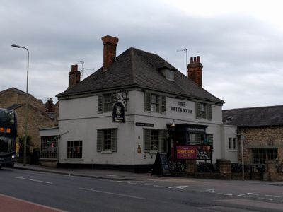
The Britannia Public House, pub in Oxford, Oxfordshire, UK
Location: Oxford
Address: 1 Lime Walk, Oxford, OX3 7AA OX3 7AA OX3 7AA
Phone: +441865760192
Website: http://emberinns.co.uk/nationalsearch/southeast/the-britannia-inn-headington
GPS coordinates: 51.75899,-1.21401
Latest update: April 14, 2025 12:00
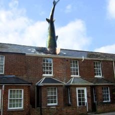
Headington Shark
50 m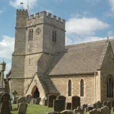
St Andrew's Church
659 m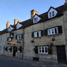
White Hart Inn
622 m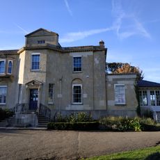
Bury Knowle
550 m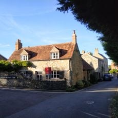
6, St Andrews Lane
714 m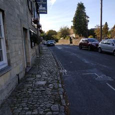
Pavement Fronting Numbers 10 To 14
625 m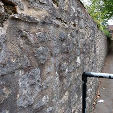
Boundary Wall Of The Court
478 m
9, The Croft
582 m
1 and 2, North Place
447 m
10, St Andrews Road
618 m
White Lodge And Sunny Lodge Wall Fronting Osler Road
395 m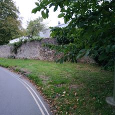
Boundary Wall Of Manor House
464 m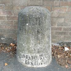
Stone In London Road Outside Number 196
612 m
14, St Andrews Road
616 m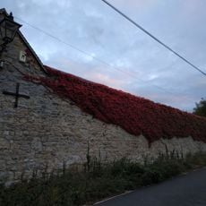
Wall of Mathers Farm Fronting Larkins Lane
718 m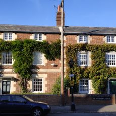
1 and 3, St Andrews Road
643 m
The Court
483 m
Barn Of Mathers Farm
680 m
11, The Croft
588 m
Building At Rear Of Number 12 (Fronting The Croft)
577 m
Manor House, Including The Stable Block To The East
467 m
2 And 4, St Andrews Lane
682 m
8, The Croft
565 m
Boundary Wall Of Number 56 Fronting The Croft
458 m
Mathers Farmhouse
646 m
Churchyard Wall Of The Church Of St Andrew
653 m
Boundary Wall Of Bury Knowle
544 m
16, St Andrews Road
613 mReviews
Visited this place? Tap the stars to rate it and share your experience / photos with the community! Try now! You can cancel it anytime.
Discover hidden gems everywhere you go!
From secret cafés to breathtaking viewpoints, skip the crowded tourist spots and find places that match your style. Our app makes it easy with voice search, smart filtering, route optimization, and insider tips from travelers worldwide. Download now for the complete mobile experience.

A unique approach to discovering new places❞
— Le Figaro
All the places worth exploring❞
— France Info
A tailor-made excursion in just a few clicks❞
— 20 Minutes