
Walnuts, building in Brightwell-cum-Sotwell, South Oxfordshire, Oxfordshire, UK
Location: Brightwell-cum-Sotwell
GPS coordinates: 51.60539,-1.16331
Latest update: March 2, 2025 20:12

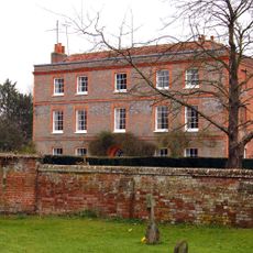
Brightwell Manor
834 m
Church of All Saints
1.9 km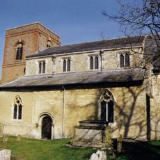
Church of St Agatha
888 m
Church of St James
949 m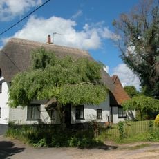
Rainbow Cottage
1.9 km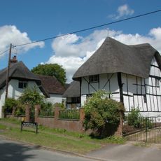
Old Manor Cottage
2 km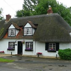
Moat Cottage
812 m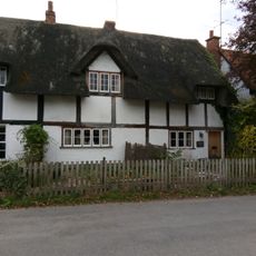
Thatch End The Red Lion Public House
799 m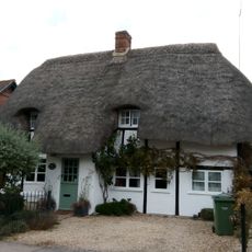
Stewarts Cottage
839 m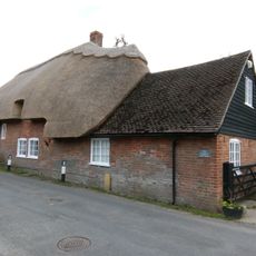
The Street Cottage
822 m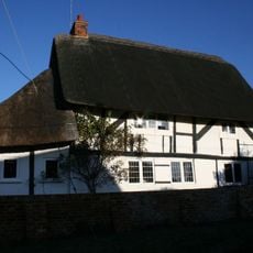
The Abbot's House
924 m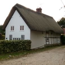
Old Priory Cottage
1 km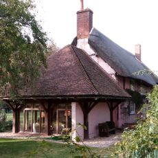
Little Lane Cottage
1 km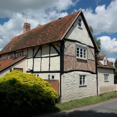
St Andrews Lodge
2 km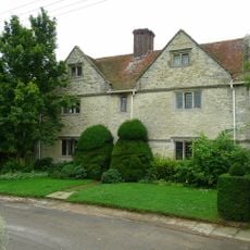
Small's House
134 m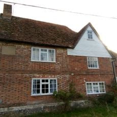
Mackney Lodge
34 m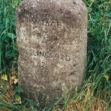
Milestone At Su 5825 9119
1.3 km
Middle Farmhouse
937 m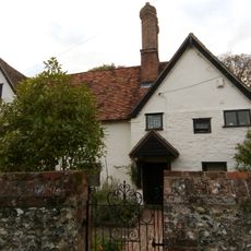
The Old Priory
1 km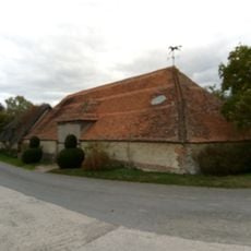
Barn Approximately 2 Metres South West Of Small's House
159 m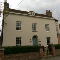
Vine House
804 m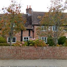
The Orchards
827 m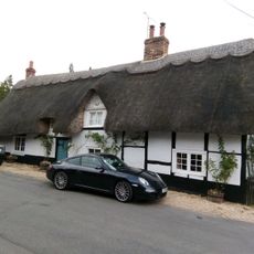
The Barn
815 m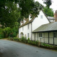
The Gables
899 m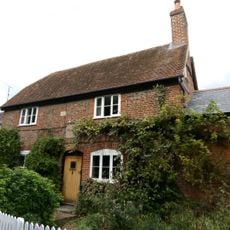
The Woodman
876 m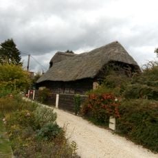
Barn And Attached Portion Of Barn Approximately 15 Metres North Of Middle Farmhouse
958 m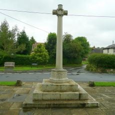
Brightwell-cum-Sotwell War Memorial
934 m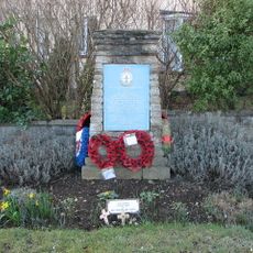
420 Squadron RCAF Memorial, Wallingford
1.9 kmReviews
Visited this place? Tap the stars to rate it and share your experience / photos with the community! Try now! You can cancel it anytime.
Discover hidden gems everywhere you go!
From secret cafés to breathtaking viewpoints, skip the crowded tourist spots and find places that match your style. Our app makes it easy with voice search, smart filtering, route optimization, and insider tips from travelers worldwide. Download now for the complete mobile experience.

A unique approach to discovering new places❞
— Le Figaro
All the places worth exploring❞
— France Info
A tailor-made excursion in just a few clicks❞
— 20 Minutes