
Church Row, building in Wandsworth, Greater London, UK
Location: London Borough of Wandsworth
GPS coordinates: 51.45787,-0.19481
Latest update: March 3, 2025 01:53


Wandsworth Town Hall
266 m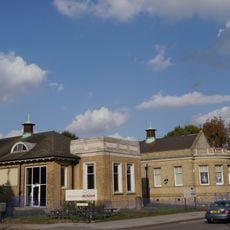
Wandsworth Museum
404 m
De Morgan Centre
405 m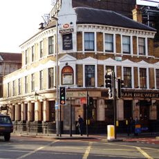
Brewery Tap
167 m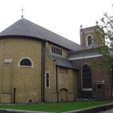
All Saints Church, Wandsworth
50 m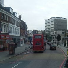
Wandsworth High Street
99 m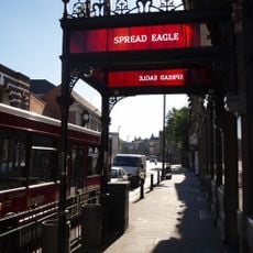
Spread Eagle
222 m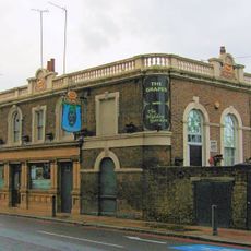
The Grapes
307 m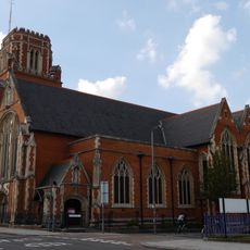
St Thomas a Becket, Wandsworth
449 m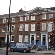
Church Row, Wandsworth
25 m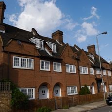
155–171 Oakhill Road
409 m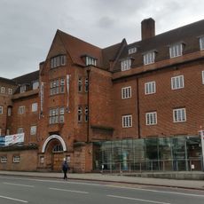
South Thames College
342 m
25 And 27, West Hill Sw18
357 m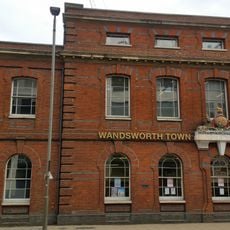
Old County Court House
247 m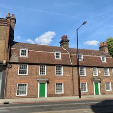
140-142, Wandsworth High Street
243 m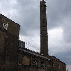
Ram (youngs) Brewery Complex
154 m
Wentworth House With Forecourt Wall, Gate And Gatepiers
154 m
22 And 24, Putney Bridge Road Sw18
227 m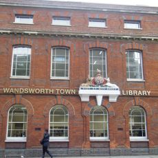
Wandsworth Town Library
248 m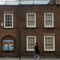
Friends Meeting House
258 m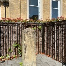
Milestone (Opposite Number 37)
417 m
29 And 31, West Hill Sw18
366 m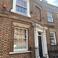
23, West Hill Sw18
347 m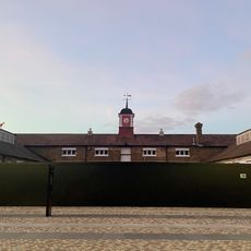
Stables At Ram (Youngs) Brewery Complex
154 m
33, West Hill Sw18
389 m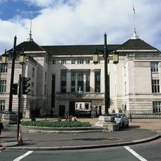
Lamp Standards Outside Wandsworth Town Hall
353 m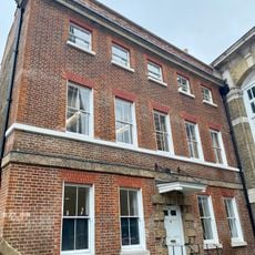
70, Wandsworth High Street Sw18
136 m
35 And 37, West Hill Sw18
402 mReviews
Visited this place? Tap the stars to rate it and share your experience / photos with the community! Try now! You can cancel it anytime.
Discover hidden gems everywhere you go!
From secret cafés to breathtaking viewpoints, skip the crowded tourist spots and find places that match your style. Our app makes it easy with voice search, smart filtering, route optimization, and insider tips from travelers worldwide. Download now for the complete mobile experience.

A unique approach to discovering new places❞
— Le Figaro
All the places worth exploring❞
— France Info
A tailor-made excursion in just a few clicks❞
— 20 Minutes