
Former Well Station Of Thames Water Authority, building in Enfield, Greater London, UK
Location: London Borough of Enfield
GPS coordinates: 51.64367,-0.02950
Latest update: March 7, 2025 21:25
Gilwell Park
2.3 km
Gilwell Oak
2.2 km
Bull and Crown
2.6 km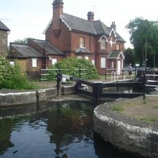
Enfield Lock
2.7 km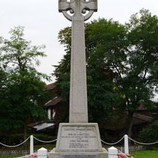
Chingford War Memorial
2.4 km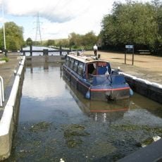
Pickett's Lock
2 km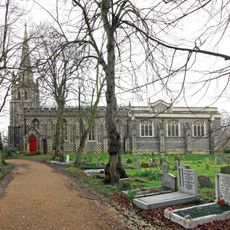
Church of St Peter and St Paul
2.5 km
Ripaults Factory
1.7 km
St James' Church, Enfield Highway
1.8 km
Wright's Flour Mill
268 m
All Saints' Church
2.5 km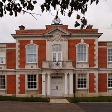
Chingford Town Hall
2.3 km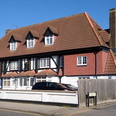
The White Horse Public House
1.7 km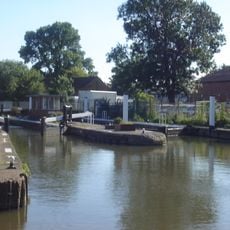
Ponder's End Lock
189 m
Our Lady of Grace and St Teresa of Avila
2.6 km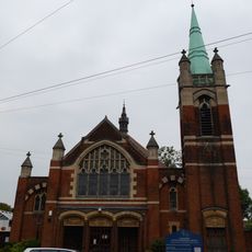
Chingford United Reformed Church
2.7 km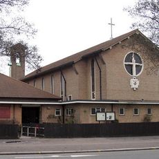
St Alphege's Church
1.5 km
Odeon Lee Valley
1.4 km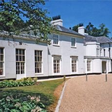
The White House, Gilwell Park
2.3 km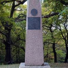
Pole Hill Obelisk
2.1 km
Cineworld Cinema & IMAX Enfield
2.6 km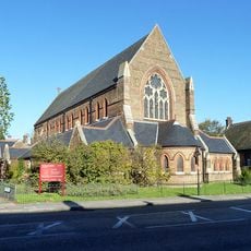
St Peter the Apostle
2.2 km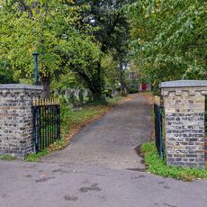
Church of St Peter and St Paul Churchyard Gate and Gatepiers (South of Church)
2.6 km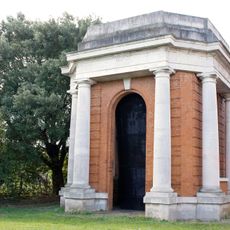
Water Tower House At King George Pumping Station
2.3 km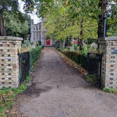
Church of St Peter and St Paul Churchyard Gates and Gatepiers (North of Church)
2.5 km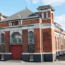
Pump House At King George Pumping Station
2.3 km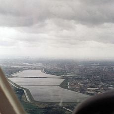
William Girling Reservoir
1.4 km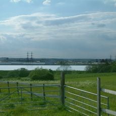
King George V Reservoir
1.2 kmVisited this place? Tap the stars to rate it and share your experience / photos with the community! Try now! You can cancel it anytime.
Discover hidden gems everywhere you go!
From secret cafés to breathtaking viewpoints, skip the crowded tourist spots and find places that match your style. Our app makes it easy with voice search, smart filtering, route optimization, and insider tips from travelers worldwide. Download now for the complete mobile experience.

A unique approach to discovering new places❞
— Le Figaro
All the places worth exploring❞
— France Info
A tailor-made excursion in just a few clicks❞
— 20 Minutes