
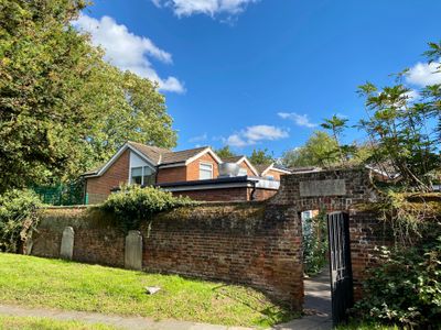
Wall To East Of Enfield Parish Church, wall in Enfield, Greater London, UK
Location: London Borough of Enfield
GPS coordinates: 51.65302,-0.08160
Latest update: March 4, 2025 09:10
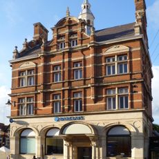
Barclays Bank, 20 The Town, Enfield
77 m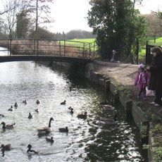
Enfield Town Park
557 m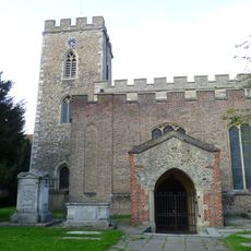
Church of St Andrew Enfield Parish Church
29 m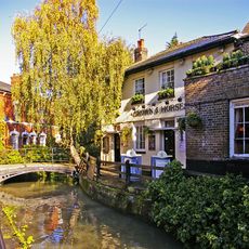
Crown and Horseshoes
487 m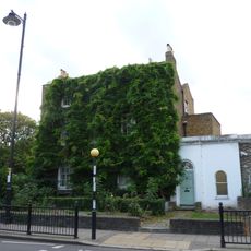
58, Silver Street
106 m
The Dugdale Centre
299 m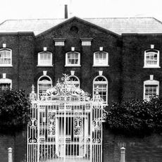
Burleigh House, Enfield
97 m
68 Silver Street
134 m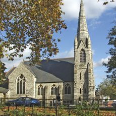
Trinity Church, Enfield
359 m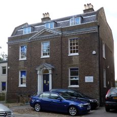
90 Silver Street
185 m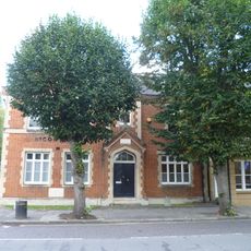
Nicon House
112 m
Old Vestry Office
79 m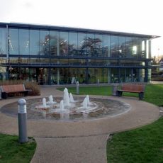
Enfield Town Library
354 m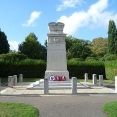
Enfield War Memorial
509 m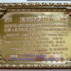
Enfield Post Office war memorial plaque
201 m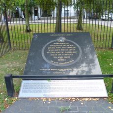
Arctic Campaign Memorial
157 m
North East Building of Enfield Grammar School
65 m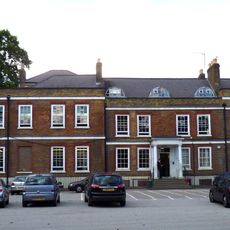
Enfield Court (Enfield Grammar School Junior School)
387 m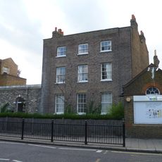
60, Silver Street
121 m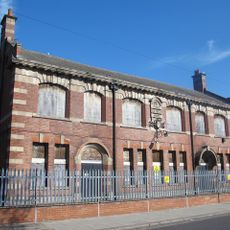
Former Enfield Electrical Works
608 m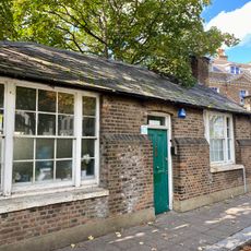
84, Silver Street
177 m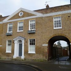
23, Gentleman's Row
384 m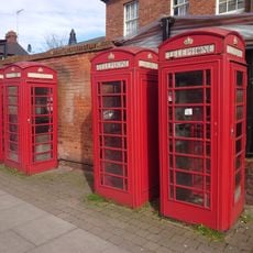
4 K6 Telephone Kiosks Near Junction With Church Street
220 m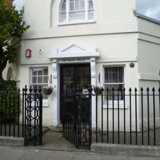
Forecourt Railings To No 22
87 m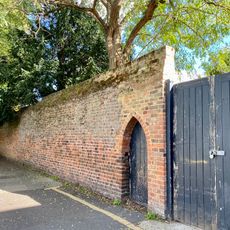
Wall At Back Of Garden To Number 68 Silver Street
124 m
3-4 The Town
116 m
Uvedale Cottage Uvedale House
86 m
Enfield Vicarage
66 mReviews
Visited this place? Tap the stars to rate it and share your experience / photos with the community! Try now! You can cancel it anytime.
Discover hidden gems everywhere you go!
From secret cafés to breathtaking viewpoints, skip the crowded tourist spots and find places that match your style. Our app makes it easy with voice search, smart filtering, route optimization, and insider tips from travelers worldwide. Download now for the complete mobile experience.

A unique approach to discovering new places❞
— Le Figaro
All the places worth exploring❞
— France Info
A tailor-made excursion in just a few clicks❞
— 20 Minutes