
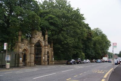
Rochdale Cemetery Gateway, building in Rochdale, Greater Manchester, UK
Location: Rochdale
Part of: Rochdale Cemetery
GPS coordinates: 53.61326,-2.18328
Latest update: March 16, 2025 19:13
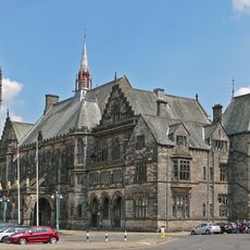
Rochdale Town Hall
1.6 km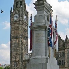
Rochdale Cenotaph
1.6 km
Parish Church of St Chad, Rochdale
1.7 km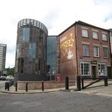
Rochdale Pioneers Museum
1.7 km
St John the Baptist Church, Rochdale
1.9 km
Church of St Edmund, Rochdale
1.5 km
Church of St Mary in the Baum
1.7 km
Falinge Park
1.7 km
Fireground
1.9 km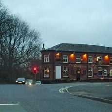
Cemetery Hotel Public House
103 m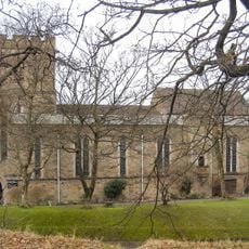
Church of Saint Aidan
1.4 km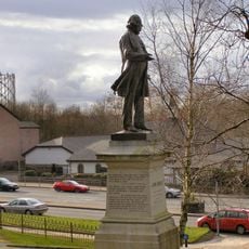
Statue of John Bright
1.4 km
Spotland Methodist Church
1.4 km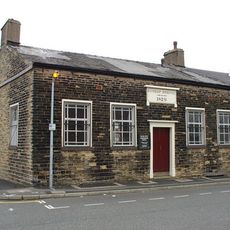
Congregational Church
1.9 km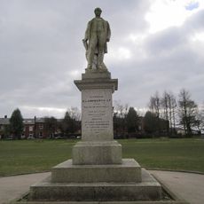
Statue of GL Ashworth
1.5 km
Touchstones Rochdale
1.4 km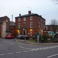
The Reed Hotel
1.8 km
Post Office
1.6 km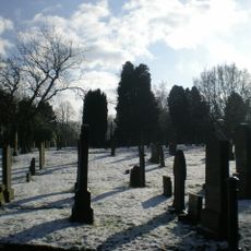
Rochdale Cemetery
4 m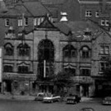
Empire Music Hall
1.7 km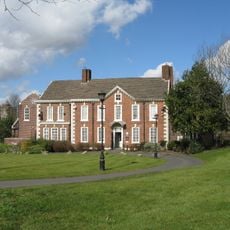
Rochdale Museum, The Old Vicarage
1.6 km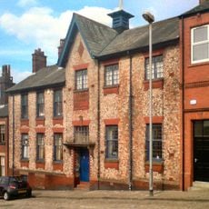
Institute For The Deaf, 23 Church Lane, Rochdale
1.8 km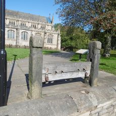
Stocks To South Of Church Of Saint Chad
1.7 km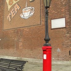
Pillar Box Surmounted By Gas Lamp Adjacent To Number 31
1.7 km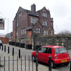
The Vicarage
1.7 km
31, Toad Lane
1.7 km
County Court Building
1.7 km
Yates's Wine Lodge (The Blue Bell)
1.7 kmVisited this place? Tap the stars to rate it and share your experience / photos with the community! Try now! You can cancel it anytime.
Discover hidden gems everywhere you go!
From secret cafés to breathtaking viewpoints, skip the crowded tourist spots and find places that match your style. Our app makes it easy with voice search, smart filtering, route optimization, and insider tips from travelers worldwide. Download now for the complete mobile experience.

A unique approach to discovering new places❞
— Le Figaro
All the places worth exploring❞
— France Info
A tailor-made excursion in just a few clicks❞
— 20 Minutes