
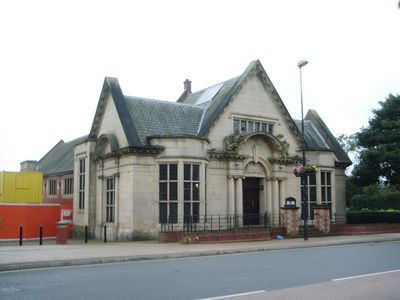
Heywood Library, public library in Rochdale, Greater Manchester
Location: Rochdale
Elevation above the sea: 121.1299 m
Website: http://rochdale.gov.uk/library-services/local-libraries/Pages/heywood-library.aspx
GPS coordinates: 53.59250,-2.21821
Latest update: April 17, 2025 04:07
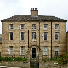
Hopwood Hall
3 km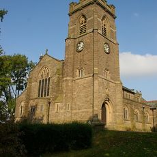
Church of St John
3.6 km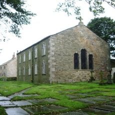
Church of Saint James
3.3 km
Church of Saint Luke
91 m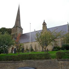
Church of Saint Paul
3.9 km
Church of Saint Martin
2.9 km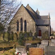
Church of St John the Baptist, Bircle, Rochdale
3.2 km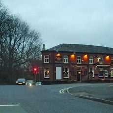
Cemetery Hotel Public House
3.3 km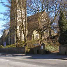
Church of All Souls
1 km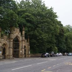
Rochdale Cemetery Gateway
3.3 km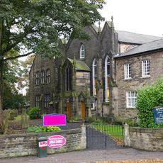
Bamford United Reformed Church
1.9 km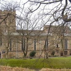
Church of Saint Aidan
2.8 km
Church of Saint Thomas
4.2 km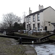
Rochdale Canal Slattocks Top Lock (Number 54) And Adjoining Bridge
3.6 km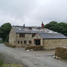
Egerton Arms
3.3 km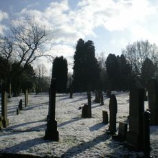
Rochdale Cemetery
3.3 km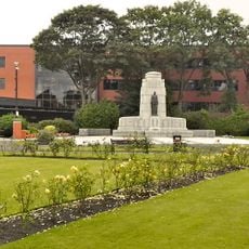
War Memorial
37 m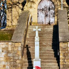
Bamford War Memorial
1.4 km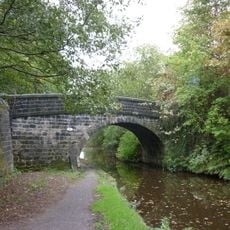
March Barn Bridge, Rochdale Canal
3 km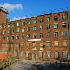
Crimble Mill, Heywood
1.3 km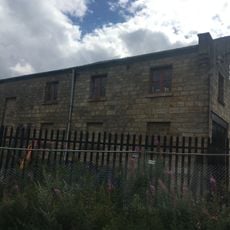
Railway Warehouse And Loading Shed, Old Goods Yard
741 m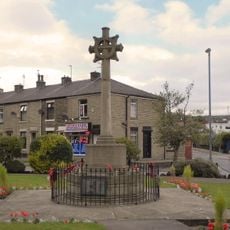
Norden War Memorial
3.9 km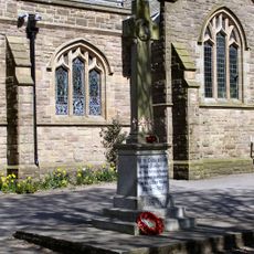
Thornham Parish War Memorial
3.6 km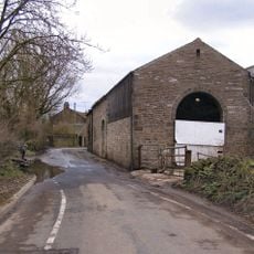
Large Barn To North Of Ashworth Fold Farmhouse
2.7 km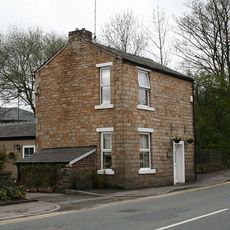
Old Toll House
3.7 km
Arkholme
4.2 km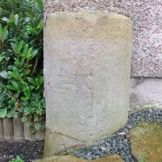
Milestone, Norden; by No. 845
4.1 km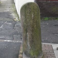
Milestone, Rochdale Road
4.1 kmReviews
Visited this place? Tap the stars to rate it and share your experience / photos with the community! Try now! You can cancel it anytime.
Discover hidden gems everywhere you go!
From secret cafés to breathtaking viewpoints, skip the crowded tourist spots and find places that match your style. Our app makes it easy with voice search, smart filtering, route optimization, and insider tips from travelers worldwide. Download now for the complete mobile experience.

A unique approach to discovering new places❞
— Le Figaro
All the places worth exploring❞
— France Info
A tailor-made excursion in just a few clicks❞
— 20 Minutes