
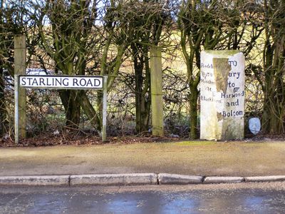
Finger Post At Sd 775 104, fingerpost in Bury, Greater Manchester, UK
Location: Bury
Inception: 19 century
GPS coordinates: 53.58952,-2.34199
Latest update: March 6, 2025 07:14

East Lancashire Railway
2.8 km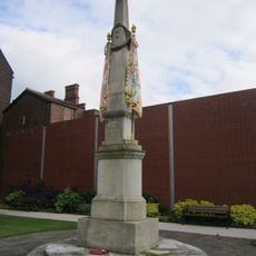
Lancashire Fusiliers War Memorial
2.9 km
The Fusilier Museum
2.9 km
Bury Art Museum
2.9 km
Bury Transport Museum
2.8 km
Ainsworth Mill, Breightmet
2.3 km
Church of Saint Marie
2.8 km
Christ Church, Walshaw
1.3 km
Daisyfield Viaduct
2.1 km
Bury Art Museum & Sculpture Centre
2.9 km
Christ Church
1.1 km
Church of Saint Andrew
1.7 km
Christ's Church
2.7 km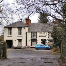
Duke William Inn
1.2 km
Church of All Saints
2.1 km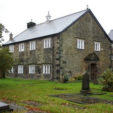
Presbyterian Chapel
1.2 km
Art Picture House
2.9 km
Lancashire Fusiliers Boer War Memorial
2.7 km
Tottington Library
2.6 km
Clock Tower, Whitehead Or Tower Gardens
2.7 km
Barclays Bank
2.9 km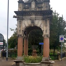
Drinking Fountain And Horse Trough
2.7 km
Bury Bridge
2.4 km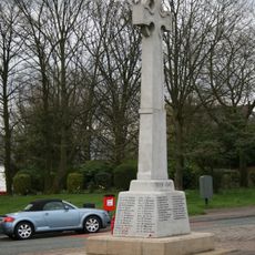
Walshaw War Memorial
1.3 km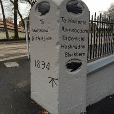
Direction Stone
2.3 km
Dearden Fold Farmhouse
1.6 km
Bury Unitarian Church War Memorial
2.8 km
Manchester Bolton & Bury Reservoir
1.8 kmReviews
Visited this place? Tap the stars to rate it and share your experience / photos with the community! Try now! You can cancel it anytime.
Discover hidden gems everywhere you go!
From secret cafés to breathtaking viewpoints, skip the crowded tourist spots and find places that match your style. Our app makes it easy with voice search, smart filtering, route optimization, and insider tips from travelers worldwide. Download now for the complete mobile experience.

A unique approach to discovering new places❞
— Le Figaro
All the places worth exploring❞
— France Info
A tailor-made excursion in just a few clicks❞
— 20 Minutes