
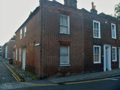
49, Broad Street, building in Canterbury, Kent, UK
Location: Canterbury
Address: 49, Broad Street, Canterbury, Kent, CT1
GPS coordinates: 51.28134,1.08516
Latest update: April 10, 2025 18:01
The Royal Dragoon Public House
52 m
50, Broad Street
17 m
Norman Staircase
119 m
Library Of King's School
127 m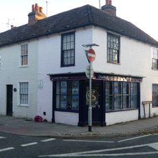
47 and 47A Broad Street
15 m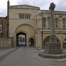
War memorial cross at the King's School, Canterbury
123 m
1, Albion Place
10 m
Diocesan And Payne Smith Church Of England Primary School, Including Attached Boundary Wall And School House
22 m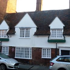
70, Broad Street
107 m
Broad Street House
102 m
87, Broad Street
106 m
1, Military Road
25 m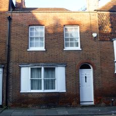
84, Broad Street
120 m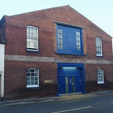
Messrs Cozens (Adjoining No 93 To The Right)
114 m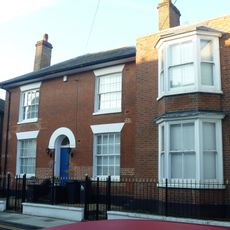
89, Broad Street
77 m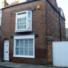
88, Broad Street
87 m
46, Broad Street
64 m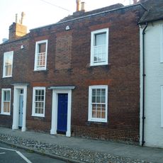
48, Broad Street
8 m
51 And 52, Broad Street
23 m
66-69, Broad Street
89 m
The Cathedral Appeal Fund Office The Deanery
96 m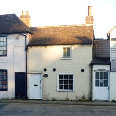
Building Adjoining No 1 To The Left
21 m
85 And 86, Broad Street
113 m
39 And 40, Broad Street
122 m
41 And 42, Broad Street
113 m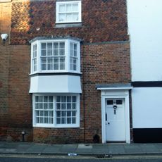
83, Broad Street
126 m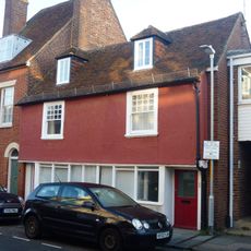
St Crispin's
47 m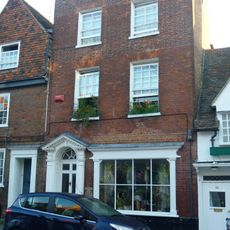
71, Broad Street
114 mReviews
Visited this place? Tap the stars to rate it and share your experience / photos with the community! Try now! You can cancel it anytime.
Discover hidden gems everywhere you go!
From secret cafés to breathtaking viewpoints, skip the crowded tourist spots and find places that match your style. Our app makes it easy with voice search, smart filtering, route optimization, and insider tips from travelers worldwide. Download now for the complete mobile experience.

A unique approach to discovering new places❞
— Le Figaro
All the places worth exploring❞
— France Info
A tailor-made excursion in just a few clicks❞
— 20 Minutes