
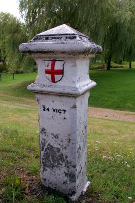
London Coal Duty Marker On South Side Of Road Near Telford's Bridge
London Coal Duty Marker On South Side Of Road Near Telford's Bridge, coal-tax post in London Colney, St. Albans, Hertfordshire, UK
Location: London Colney
Part of: political border
GPS coordinates: 51.71959,-0.29053
Latest update: March 13, 2025 17:29
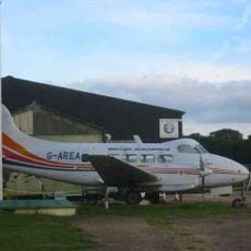
De Havilland Aircraft Museum
1.7 km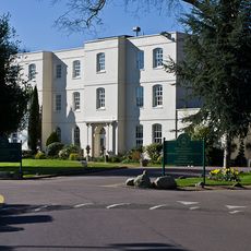
Sopwell House
3 km
Watford Training Ground
1.2 km
Tyttenhanger House
1.4 km
All Saints Pastoral Centre
1.1 km
Shenley Hall
3 km
Denis Compton Oval
3.3 km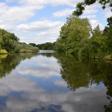
Broad Colney Lakes
474 m
Redwell Wood
3.3 km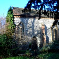
St Botolphs
1.8 km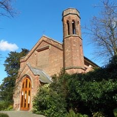
Church of St Martin
3.4 km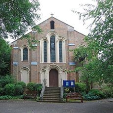
Church of St Peter
60 m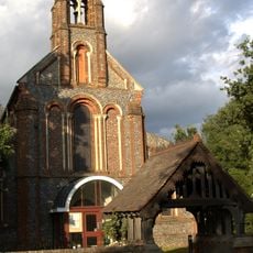
Church of the Holy Trinity
3 km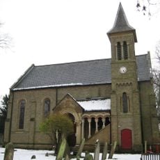
Church of St Mark
2.9 km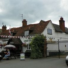
The Green Dragon Public House
53 m
The Golden Lion Public House
352 m
Telfords Bridge
33 m
Salisbury Hall
1.6 km
The Bull Public House
132 m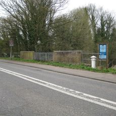
London Coal Duty Marker On East Side Of Broad Colney Bridge
769 m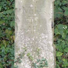
Milestone About 50 Metres East Of Ridge Hill Stud
2.6 km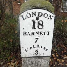
Milestone On Verge At Junction With Haseldine Road
609 m
1-5, High Street
33 m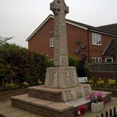
London Colney War Memorial
352 m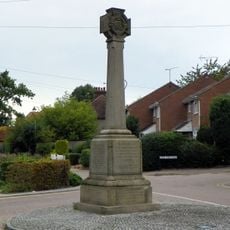
Shenley War Memorial, Hertfordshire
3.1 km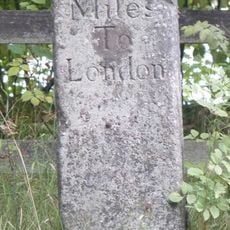
Milestone About 300 Metres South West Of Redwell Wood Farm House
2.6 km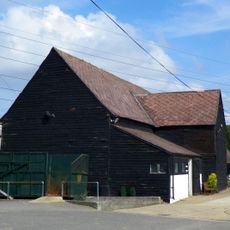
Barn About 60 Metres North West Of Coursers Farm House
2.5 km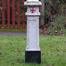
London Coal Duty Marker On Verge Near Number 67
1.7 kmReviews
Visited this place? Tap the stars to rate it and share your experience / photos with the community! Try now! You can cancel it anytime.
Discover hidden gems everywhere you go!
From secret cafés to breathtaking viewpoints, skip the crowded tourist spots and find places that match your style. Our app makes it easy with voice search, smart filtering, route optimization, and insider tips from travelers worldwide. Download now for the complete mobile experience.

A unique approach to discovering new places❞
— Le Figaro
All the places worth exploring❞
— France Info
A tailor-made excursion in just a few clicks❞
— 20 Minutes