
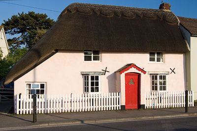
56, Sopers Lane, building in Christchurch, Dorset, UK
Location: Christchurch
Address: 56, Sopers Lane, Christchurch, Dorset, BH23
GPS coordinates: 50.73276,-1.78219
Latest update: March 3, 2025 07:35
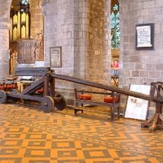
Cucking stool
561 m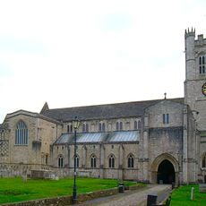
Christchurch Priory
539 m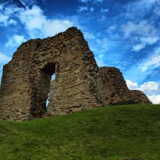
Christchurch Castle
541 m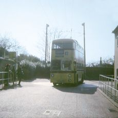
Christchurch trolleybus turntable
511 m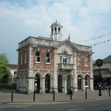
The Town Hall
402 m
9, Church Lane
437 m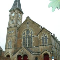
United Reform Church Including Attached Sunday Schools. Railings To West Wing Of Church Building
453 m
4, 6 ,7 and 8, Church Lane
424 m
1, Church Lane
384 m
Christchurch Library
376 m
Place Mill Bridge
581 m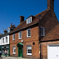
Splinters (Including Street Lamp Fixed To Wall)
493 m
14 And 16, Castle Street
523 m
Red House Museum
423 m
Redford Bridge
621 m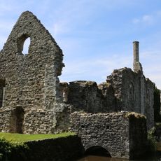
The Constable's House
593 m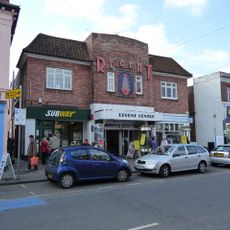
Regent Centre
389 m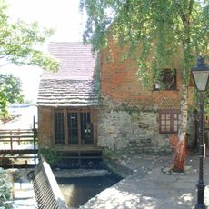
Place Mill
566 m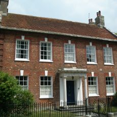
Church Hatch
506 m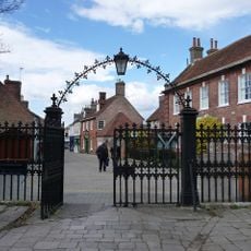
Gateway To Christchurch Churchyard
505 m
18, Castle Street
530 m
76, High Street
452 m
6 And 6A, Castle Street
491 m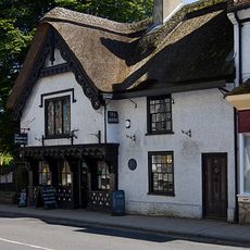
The Old Court House
520 m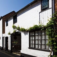
The Olde Barne
502 m
58 And 60, Sopers Lane
12 m
The Old Malt House
499 m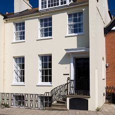
Quartleys Including Railings
599 mReviews
Visited this place? Tap the stars to rate it and share your experience / photos with the community! Try now! You can cancel it anytime.
Discover hidden gems everywhere you go!
From secret cafés to breathtaking viewpoints, skip the crowded tourist spots and find places that match your style. Our app makes it easy with voice search, smart filtering, route optimization, and insider tips from travelers worldwide. Download now for the complete mobile experience.

A unique approach to discovering new places❞
— Le Figaro
All the places worth exploring❞
— France Info
A tailor-made excursion in just a few clicks❞
— 20 Minutes