
2 Bastions And Terrace Wall 25 Metres West Of Brancepeth Castle
2 Bastions And Terrace Wall 25 Metres West Of Brancepeth Castle, building in Brancepeth, County Durham, UK
Location: Brancepeth
Part of: Brancepeth Castle
GPS coordinates: 54.73395,-1.65581
Latest update: June 27, 2025 02:52
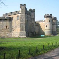
Brancepeth Castle
166 m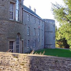
Croxdale Hall
5.1 km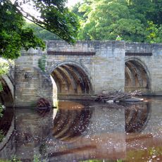
Sunderland Bridge
4.3 km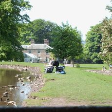
Whitworth Hall, County Durham
3.3 km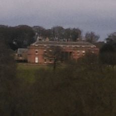
Burn Hall
3.9 km
Mount Oswald
5.4 km
Whitworth Hall Country Park
3.3 km
Spennymoor Town Hall
5.2 km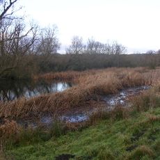
Butterby Oxbow
5.4 km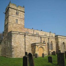
Church of St Brandon
219 m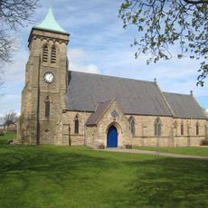
Church of St Paul
5.2 km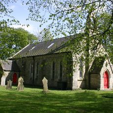
Church of St.Peter
4 km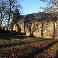
Church of St Edmund
5.7 km
Whitworth Parish Church
3.3 km
Croxdale church
5.1 km
Church of St Stephen
2.9 km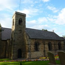
Church of St Bartholomew
4.4 km
Church 50 metres north east of Croxdale Hall
5.1 km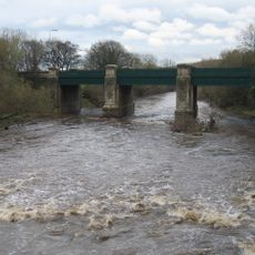
Croxdale Road Bridge
4.4 km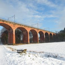
Croxdale Viaduct
4.1 km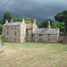
Helmington Hall
5.5 km
Willington, Oakenshaw, and Page Bank War Memorial Cross
3.4 km
Tudhoe War Memorial
4.5 km
Tudhoe Hall Farm And Tudhoe Hall
4.1 km
Finger Post Approximately 90 Metres East Of Newfield Farmhouse
4.4 km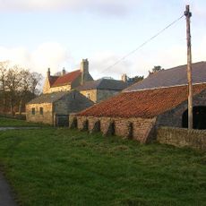
Low Butterby Farmhouse And Barn Adjoining At South-east
5.5 km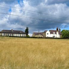
Former Schools
5.1 km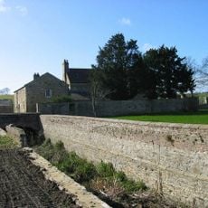
Moat Walls, 2 Bridges Across Moat, Garden Wall And Gate Piers At Low Butterby Farm
5.6 kmReviews
Visited this place? Tap the stars to rate it and share your experience / photos with the community! Try now! You can cancel it anytime.
Discover hidden gems everywhere you go!
From secret cafés to breathtaking viewpoints, skip the crowded tourist spots and find places that match your style. Our app makes it easy with voice search, smart filtering, route optimization, and insider tips from travelers worldwide. Download now for the complete mobile experience.

A unique approach to discovering new places❞
— Le Figaro
All the places worth exploring❞
— France Info
A tailor-made excursion in just a few clicks❞
— 20 Minutes