
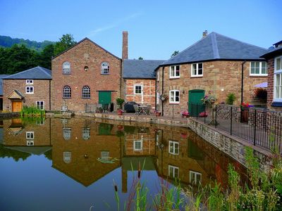
Bill Mills, building in Weston under Penyard, County of Herefordshire, UK
Location: Weston under Penyard
GPS coordinates: 51.89200,-2.54579
Latest update: March 4, 2025 16:25
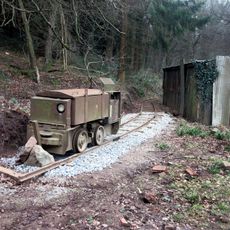
Lea Bailey Light Railway
2.8 km
Ariconium
2.7 km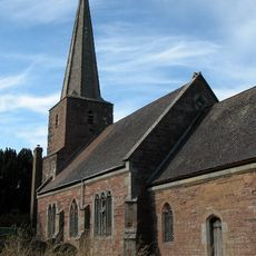
Church of St John the Baptist
3.2 km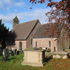
Church of St Michael
2 km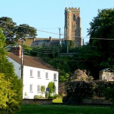
Church of St Lawrence
1.7 km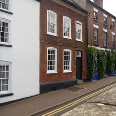
13, Church Street
3.6 km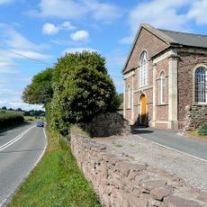
Baptist Church
1.8 km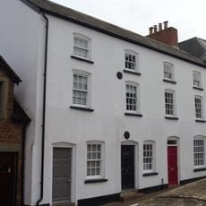
10-12, Church Street
3.6 km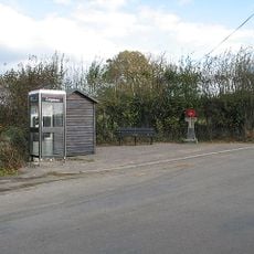
Howle Hill War Memorial
2.3 km
Market House
3.6 km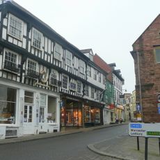
Man Of Ross House
3.6 km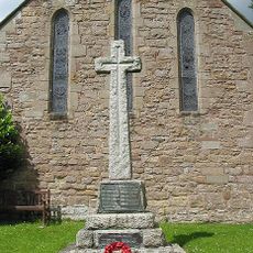
Weston under Penyard War Memorial
1.7 km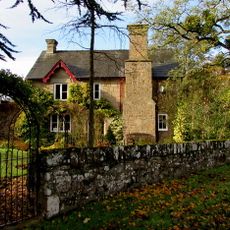
Coughton Mill House
2.4 km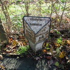
Milestone
1.9 km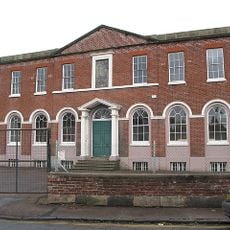
Walter Scott Charity School
3.5 km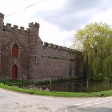
Barn On West Side Of Farmyard And Curtain Wall Enclosing Yard At Bollitree Castle
2.7 km
The Maltings
3.6 km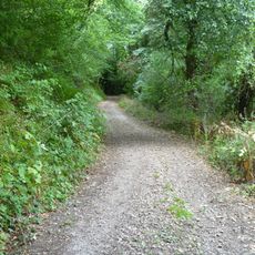
Camp in Chase Wood
2.4 km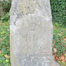
Milestone Approximately 20 Metres East Of Weston House
1.9 km
37, Broad Street
3.6 km
Linden House
3.6 km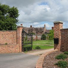
Weston Hall
2.1 km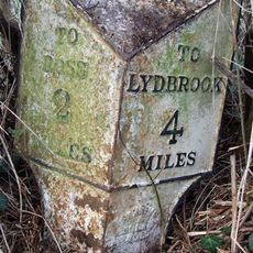
Milestone
3.2 km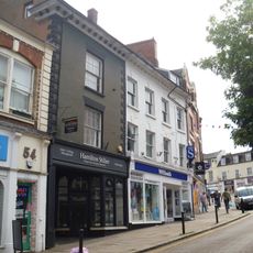
55 And 56, Broad Street
3.6 km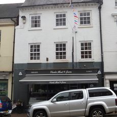
York House Steak Bar
3.6 km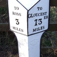
Milepost, Ryeford South
1.8 km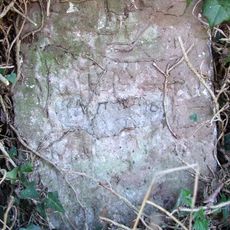
Milestone, Eccleswall
3.2 km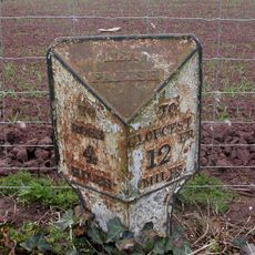
Milepost, 80m S jcn B4224
2.9 kmVisited this place? Tap the stars to rate it and share your experience / photos with the community! Try now! You can cancel it anytime.
Discover hidden gems everywhere you go!
From secret cafés to breathtaking viewpoints, skip the crowded tourist spots and find places that match your style. Our app makes it easy with voice search, smart filtering, route optimization, and insider tips from travelers worldwide. Download now for the complete mobile experience.

A unique approach to discovering new places❞
— Le Figaro
All the places worth exploring❞
— France Info
A tailor-made excursion in just a few clicks❞
— 20 Minutes