
Bridge Over Railway, road bridge in West Rainton, County Durham, UK
Location: West Rainton and Leamside
GPS coordinates: 54.81336,-1.51309
Latest update: September 23, 2025 16:56
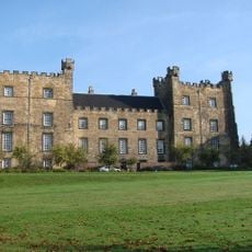
Lumley Castle
5.3 km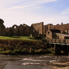
Finchale Priory
1.7 km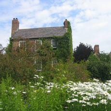
Crook Hall
5.2 km
Kepier Hospital
4.6 km
Elemore Hall
4.4 km
St Giles Church, Durham
5 km
Rainton Meadows
3.8 km
Joe's Pond
2.5 km
St Michael and All Angels Church, Houghton-le-Spring
4.3 km
Pittington Hill
2.6 km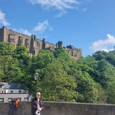
Crook Hall Gardens
5.2 km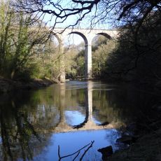
Belmont viaduct
2.3 km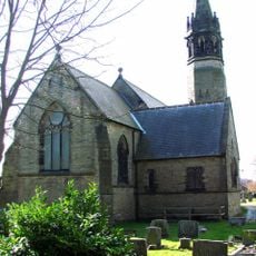
Church of St Mary
4.4 km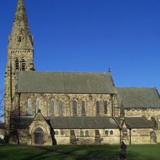
Church of St Mary
946 m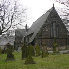
Church of St Mary Magdalene
3.2 km
Church of St Laurence
3.4 km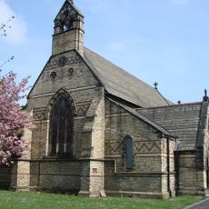
Church of St Barnabas
4.9 km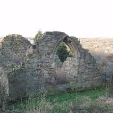
Chapel of St. Mary Magdalene
4.8 km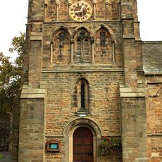
Sherburn Hospital Chapel
5.1 km
Rex Cinema
4.2 km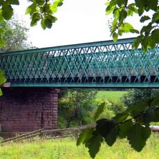
Cocken Bridge
3.4 km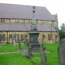
Monument 13.8 Metres South Of Church Of St Michael
4.8 km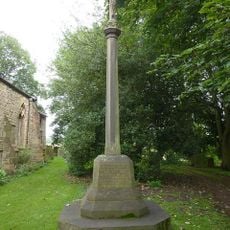
Hallgarth War Memorial
3.4 km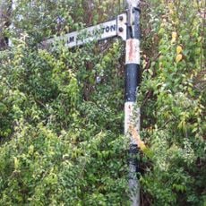
Guide Post In Front Of No 19
2.2 km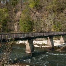
Finchale Bridge
1.8 km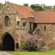
Kepier Farmhouse
4.6 km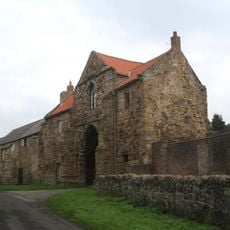
Great Gateway To Kepier Hospital
4.6 km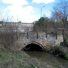
Sherburnhouse Bridge
5 kmReviews
Visited this place? Tap the stars to rate it and share your experience / photos with the community! Try now! You can cancel it anytime.
Discover hidden gems everywhere you go!
From secret cafés to breathtaking viewpoints, skip the crowded tourist spots and find places that match your style. Our app makes it easy with voice search, smart filtering, route optimization, and insider tips from travelers worldwide. Download now for the complete mobile experience.

A unique approach to discovering new places❞
— Le Figaro
All the places worth exploring❞
— France Info
A tailor-made excursion in just a few clicks❞
— 20 Minutes