
Boundary Stone About 40 Metres North Of Junction With Obelisk Lane
Boundary Stone About 40 Metres North Of Junction With Obelisk Lane, boundary marker in Durham, England, UK
Location: City of Durham
Part of: political border
GPS coordinates: 54.78123,-1.58531
Latest update: March 21, 2025 05:42
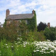
Crook Hall
693 m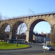
Durham Viaduct
439 m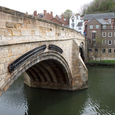
Framwellgate Bridge
741 m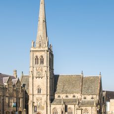
St Nicholas' Church, Durham
769 m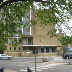
County Hall, Durham
519 m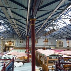
Durham Indoor Market
653 m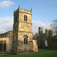
St Margaret's Church, Durham
697 m
Miners Hall
460 m
Crook Hall Gardens
711 m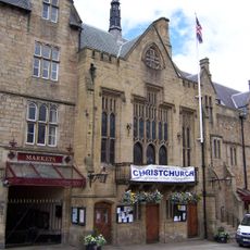
Town Hall and Guildhall
736 m
Statue of Neptune in Market Place
780 m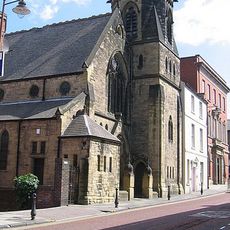
United Reformed Church
856 m
Milburngate Bridge
634 m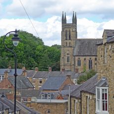
Church of St.Godric
476 m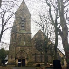
Church of St Cuthbert
130 m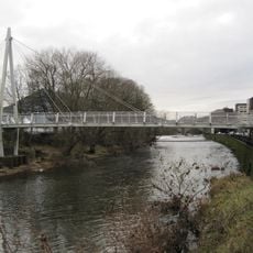
Penny Ferry Bridge
572 m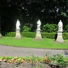
Statues East Of Durham Miners Association Offices
459 m
Durham Clayport Library
729 m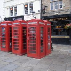
Market Tavern
749 m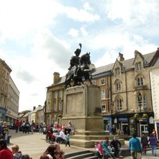
Equestrian statue of the Marquess of Londonderry
781 m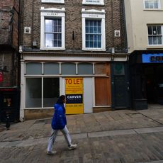
Albert House
754 m
34, Silver Street
750 m
32, Silver Street
761 m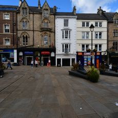
21, Market Place
753 m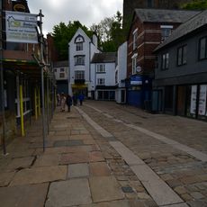
12, Silver Street
791 m
25, Market Place
753 m
22 And 23, Market Place
745 m
Lloyd's Bank
755 mReviews
Visited this place? Tap the stars to rate it and share your experience / photos with the community! Try now! You can cancel it anytime.
Discover hidden gems everywhere you go!
From secret cafés to breathtaking viewpoints, skip the crowded tourist spots and find places that match your style. Our app makes it easy with voice search, smart filtering, route optimization, and insider tips from travelers worldwide. Download now for the complete mobile experience.

A unique approach to discovering new places❞
— Le Figaro
All the places worth exploring❞
— France Info
A tailor-made excursion in just a few clicks❞
— 20 Minutes