
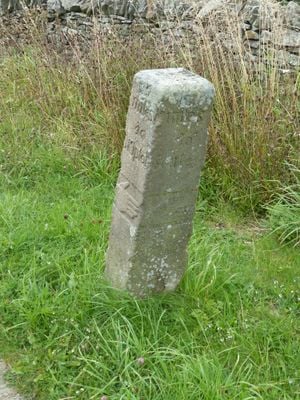
Porridge Stoup, Grade II listed building in the civil parish of Carleton, Craven, North Yorkshire, BD23
Location: Carleton
Inception: 1730
GPS coordinates: 53.93194,-2.07650
Latest update: April 13, 2025 02:12
Stone Gappe
3.2 km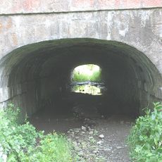
Tunnel Under Leeds And Liverpool Canal
3.6 km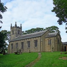
Christ Church
2.8 km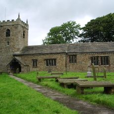
Church of All Saints
2.6 km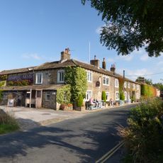
Tempest Arms Public House
2.8 km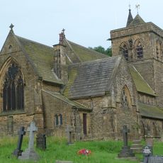
Church of St Mary
2.7 km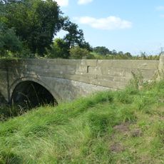
Crickle Bridge (that part in Martons Both civil parish)
4.1 km
Elslack Hall Cottage with garden wall adjoining to north of Elslack Hall Farmhouse
2.4 km
Crickle Farmhouse
4.2 km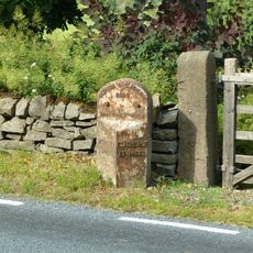
Milestone opposite Crickle Farmhouse
4.2 km
Dale End Mill
2.7 km
Bridge Cottage
2 km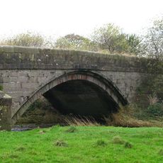
Inghey Bridge
3.4 km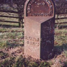
Milestone SD 9310 5072 by entrance to Micklethorn Farm
3 km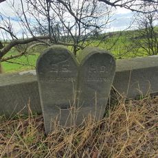
Boundary Stone At Crickle Bridge (That Part In Martons Both Civil Parish)
4.1 km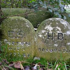
Boundary Stone At Abutment Of Inghey Bridge
3.4 km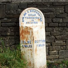
Milestone 300 Metres South Of Gubs Hill
3.1 km
Boundary Stone At Ngr 9485 4856
253 m
Elslack Grange
2.2 km
Boundary stone circa 30 metres south of Elslack Bridge At NGR 9266 4967
2.7 km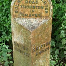
Milestone at SD 90874862 by Cam Lane turn
4.2 km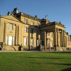
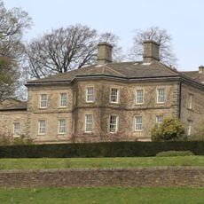
Broughton Hall
2.5 km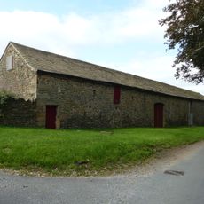
Great Barn at Elslack Hall Farm
2.3 km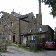
Trappes Hall
2.4 km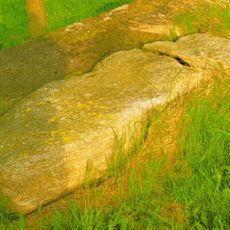
Guidestone, E of Lothersdale
3.3 km
Base Of Carleton Cross At Ngr 9630 4760
1.5 km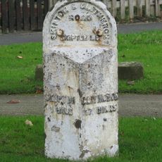
Milestone, nr Broughton Grove, E end of Skipton
3.8 km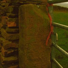
Milestone, NE of Lothersdale
2.5 kmVisited this place? Tap the stars to rate it and share your experience / photos with the community! Try now! You can cancel it anytime.
Discover hidden gems everywhere you go!
From secret cafés to breathtaking viewpoints, skip the crowded tourist spots and find places that match your style. Our app makes it easy with voice search, smart filtering, route optimization, and insider tips from travelers worldwide. Download now for the complete mobile experience.

A unique approach to discovering new places❞
— Le Figaro
All the places worth exploring❞
— France Info
A tailor-made excursion in just a few clicks❞
— 20 Minutes