
The Farmer's Arms, pub in Loders, West Dorset, Dorset, UK
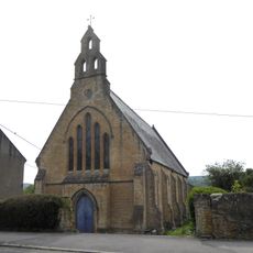
Former St Andrew's Church
2.4 km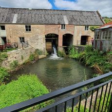
Mangerton Mill Museum
1.6 km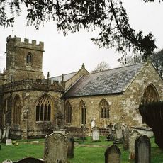
Parish Church of St Mary Magdelene
223 m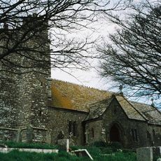
Parish Church of St Martin
2.8 km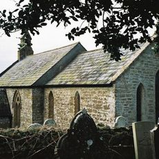
Church of St Mary
2 km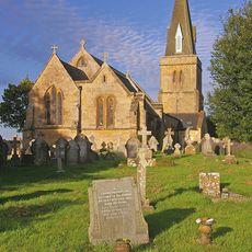
Parish Church of Holy Trinity
1.3 km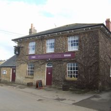
Pymore Inn
2.1 km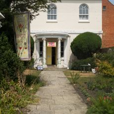
Unitarian Chapel
2.8 km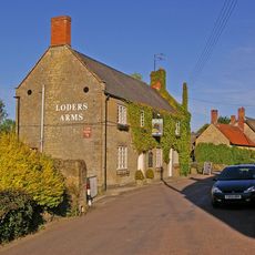
Loders Arms Inn
59 m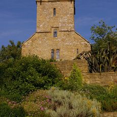
Tower, Remains of West Milton Chapel
2.4 km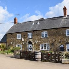
Marquis Of Lorne Inn
2.8 km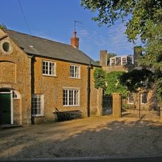
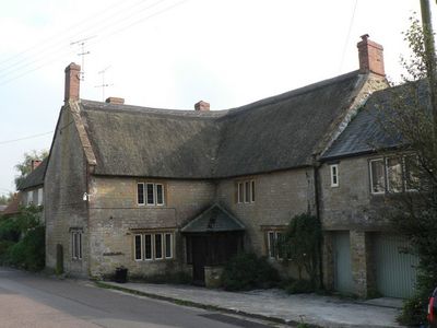
Loders Court
211 m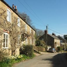
Court House And Attached Stone Wall And Gate Piers
2.3 km
Church Cottage And Front Wall And Gate Piers
2.3 km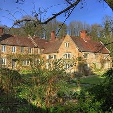
Mappercombe Manor House
2.1 km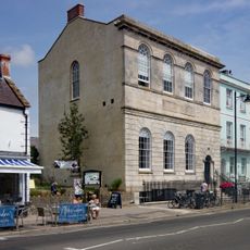
Former Literary And Scientific Institute
2.9 km
House On North Side Of The Square, 10 Metres West Of Thatch Cottage
2.8 km
Watercoombes
2.3 km
Battlecombe
2.4 km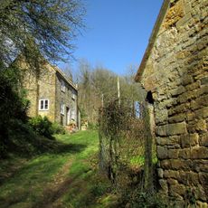
Cider House 10 Metres South West Of The Manor House
2 km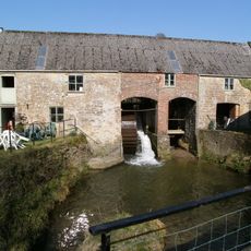
Mangerton Mill, Excluding The Mill House
1.5 km
Barn 100 Metres South East Of The Manor House
2.1 km
Wood Store 60 Metres South West Of The Manor House
2 km
41-47, East Street
2.9 km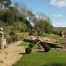
Garden Walls And 2 Sets Of Gate Piers Attached To And South Of The Manor House
2.1 km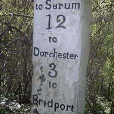
Milestone, S of Uploders
1.9 km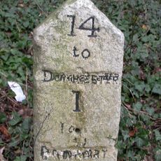
Milestone, outskirts of Bridport
2.1 km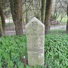
Milestone, W of road to Shipton Gorge;
1.3 kmReviews
Visited this place? Tap the stars to rate it and share your experience / photos with the community! Try now! You can cancel it anytime.
Discover hidden gems everywhere you go!
From secret cafés to breathtaking viewpoints, skip the crowded tourist spots and find places that match your style. Our app makes it easy with voice search, smart filtering, route optimization, and insider tips from travelers worldwide. Download now for the complete mobile experience.

A unique approach to discovering new places❞
— Le Figaro
All the places worth exploring❞
— France Info
A tailor-made excursion in just a few clicks❞
— 20 Minutes