
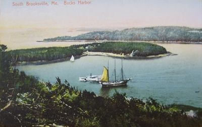
Brooksville, town in Maine, USA
Location: Hancock County
Inception: 1817
Elevation above the sea: 40 m
GPS coordinates: 44.34528,-68.74833
Latest update: March 30, 2025 18:28
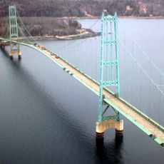
Deer Isle Bridge
7.5 km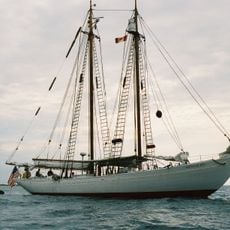
Bowdoin
6 km
Fort George
6.8 km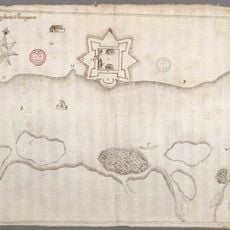
Fort Pentagouet
6.3 km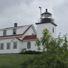
Fort Point Light
14.5 km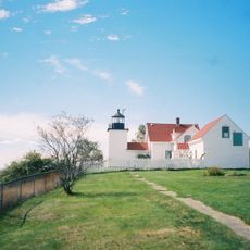
Fort Point State Park
14.6 km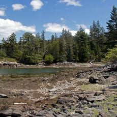
Holbrook Island Sanctuary State Park
4 km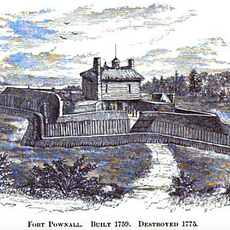
Fort Pownall Memorial
14.6 km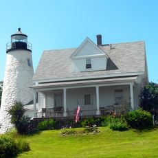
Dice Head Light
7 km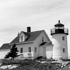
Pumpkin Island Light
4 km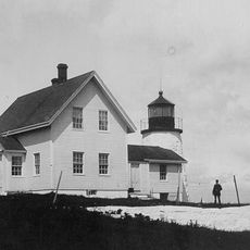
Eagle Island Light
14.3 km
Winter Harbor Light
4 km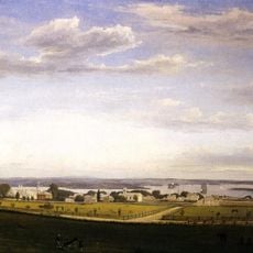
Pentagoet Archeological District
6.2 km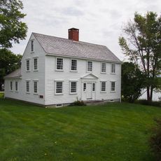
Wilson Museum
6.3 km
Parker House
14 km
West Brooksville Congregational Church
5.6 km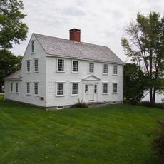
John Perkins House
6.3 km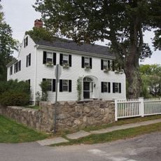
Cate House
6.3 km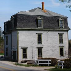
Brooklin IOOF Hall
16.1 km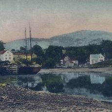
Blue Hill Historic District
14.7 km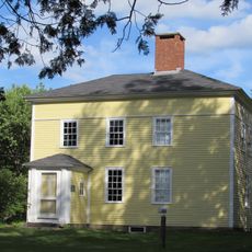
Jonathan Fisher House
13.6 km
Castine Historic District
6.8 km
Blue Hill Co-Op
14 km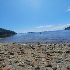
Bakeman Beach
5.8 km
Spragues Beach
11.4 km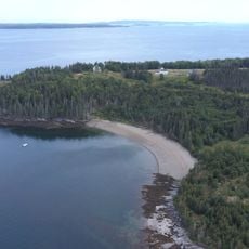
Lighthouse Beach
14.3 km
The Brook Beach
14.7 km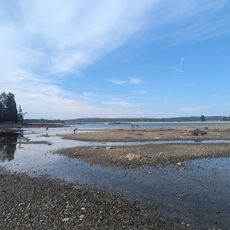
Causeway Beach
9.3 kmReviews
Visited this place? Tap the stars to rate it and share your experience / photos with the community! Try now! You can cancel it anytime.
Discover hidden gems everywhere you go!
From secret cafés to breathtaking viewpoints, skip the crowded tourist spots and find places that match your style. Our app makes it easy with voice search, smart filtering, route optimization, and insider tips from travelers worldwide. Download now for the complete mobile experience.

A unique approach to discovering new places❞
— Le Figaro
All the places worth exploring❞
— France Info
A tailor-made excursion in just a few clicks❞
— 20 Minutes