
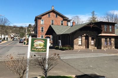
Milford, borough of New Jersey
Location: Hunterdon County
Inception: 1911
Elevation above the sea: 47 m
Shares border with: Holland Township, Alexandria Township
Website: https://milford-nj.us
GPS coordinates: 40.56861,-75.09444
Latest update: March 29, 2025 12:40
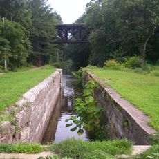
Delaware Canal State Park
43.2 km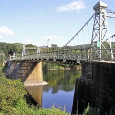
Riegelsville Bridge
8.6 km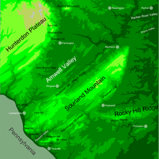
Hunterdon Plateau
3.5 km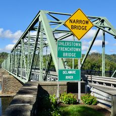
Uhlerstown–Frenchtown Bridge
5.3 km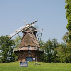
Volendam Windmill
6.6 km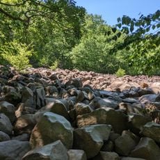
Ringing Rocks County Park
2.8 km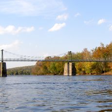
Lower Delaware National Wild and Scenic River
7.7 km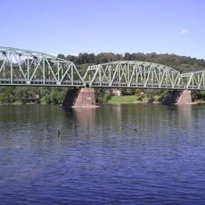
Upper Black Eddy – Milford Bridge
429 m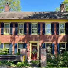
Benjamin Riegel House
8.8 km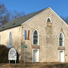
Old Stone Church
8 km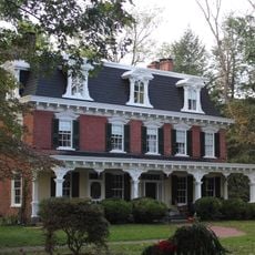
Isaac Stover House
8.3 km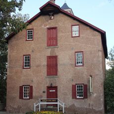
Stover Mill
8.3 km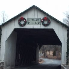
Erwinna Covered Bridge
7.5 km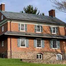
Thatcher House
6.9 km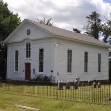
Mount Salem Methodist Episcopal Church
10.2 km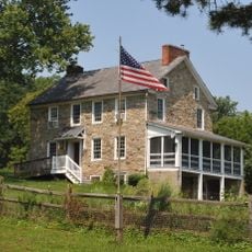
Case Farmstead
9 km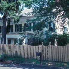
Mechlin's Corner Tavern
10.1 km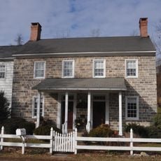
George Hunt House
8.1 km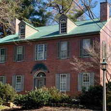
Pursley's Ferry Historic District
8.2 km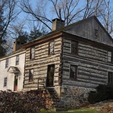
Seigle Homestead
7.7 km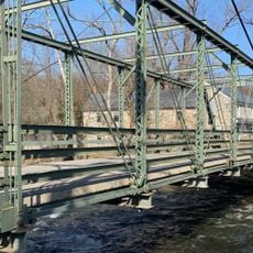
Mount Joy Road Bridge
7.7 km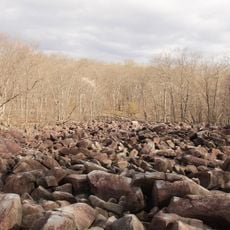
Ringing Rocks County Park
2.8 km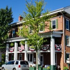
Frenchtown Historic District
5.3 km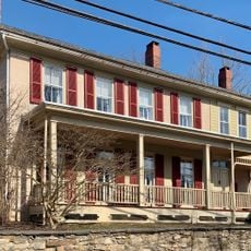
Finesville–Seigletown Historic District
7.7 km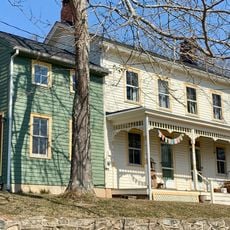
Amsterdam Historic District
5.9 km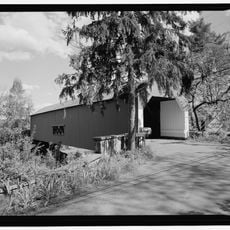
Uhlerstown Covered Bridge
5.1 km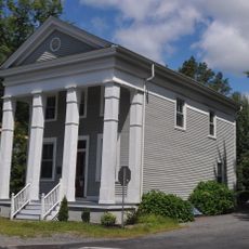
Mount Pleasant Historic District
3.8 km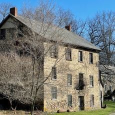
Little York Historic District
5.2 kmReviews
Visited this place? Tap the stars to rate it and share your experience / photos with the community! Try now! You can cancel it anytime.
Discover hidden gems everywhere you go!
From secret cafés to breathtaking viewpoints, skip the crowded tourist spots and find places that match your style. Our app makes it easy with voice search, smart filtering, route optimization, and insider tips from travelers worldwide. Download now for the complete mobile experience.

A unique approach to discovering new places❞
— Le Figaro
All the places worth exploring❞
— France Info
A tailor-made excursion in just a few clicks❞
— 20 Minutes