
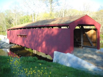
Gilpin's Falls Covered Bridge
Gilpin's Falls Covered Bridge, Covered bridge in Cecil County, Maryland, United States.
The wooden structure spans 119 feet across North East Creek, featuring a Burr arch through truss design with Eastern White Pine trusses and floor beams.
Built in 1860 by Joseph Johnson for $2,000, the bridge served local communities and mills, including Samuel Gilpin's flour mill near the waterway.
The bridge represents nineteenth-century American engineering methods, demonstrating the period's approach to protecting wooden structures from weather conditions.
Visitors can access the bridge site throughout the year, with nearby parking areas and opportunities for photography along the North East Creek.
The structure stands as Maryland's longest covered bridge, maintaining its original architectural elements through multiple restoration projects since 1959.
Location: Cecil County
Inception: 1860
GPS coordinates: 39.64880,-75.95560
Latest update: September 23, 2025 16:45
Maryland offers diverse places beyond tourist routes. The state features natural locations such as wildlife refuges, waterfalls, and coastal areas. Historical sites include lighthouses, colonial settlements, and museums. Gardens, parks, and distinctive architecture complete the range of options across the region.
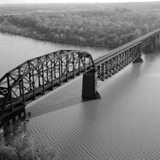
CSX Susquehanna River Bridge
14.4 km
Holly Hall
12.1 km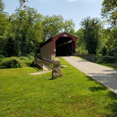
Foxcatcher Farm Covered Bridge
12.2 km
East Nottingham Friends Meetinghouse
6.3 km
Elk Landing
11.5 km
Colora Meetinghouse
12.6 km
St. Mark's Episcopal Church
12.5 km
Woodlands
12.4 km
Jeremiah Brown House and Mill Site
7.4 km
Cecil County Circuit Courthouse
12.1 km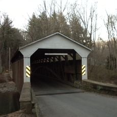
Linton Stephens Covered Bridge
12.5 km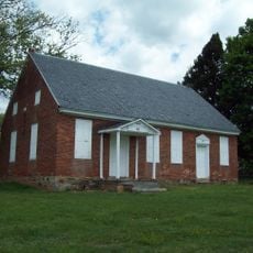
West Nottingham Meetinghouse
11.4 km
Rudolph and Arthur Covered Bridge
12.5 km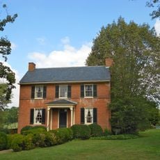
Isaac England House
3.9 km
Mitchell House
11.8 km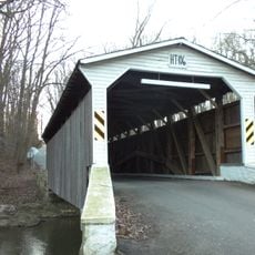
Glen Hope Covered Bridge
9.6 km
Elisha Kirk House
6.1 km
Mercer Brown House
5.9 km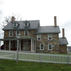
Little Elk Farm
8 km
John Churchman House
7.4 km
Paw Paw Building
14.7 km
Hopewell
8.5 km
Thomas Richards House
14.2 km
Nathan and Susannah Harris House
12 km
Edward W. Haviland House
13.4 km
Chesapeake House
6.2 km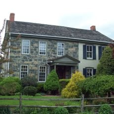
Mitchell House
9.6 km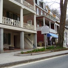
Port Deposit Historic District
14.7 kmReviews
Visited this place? Tap the stars to rate it and share your experience / photos with the community! Try now! You can cancel it anytime.
Discover hidden gems everywhere you go!
From secret cafés to breathtaking viewpoints, skip the crowded tourist spots and find places that match your style. Our app makes it easy with voice search, smart filtering, route optimization, and insider tips from travelers worldwide. Download now for the complete mobile experience.

A unique approach to discovering new places❞
— Le Figaro
All the places worth exploring❞
— France Info
A tailor-made excursion in just a few clicks❞
— 20 Minutes