
Misery Mountain, mountain in Massachusetts, United States of America

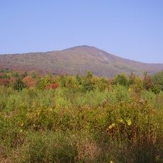
Mount Greylock
12.2 km
Clark Art Institute
13.1 km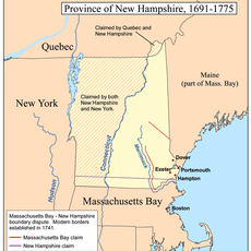
Northern boundary of Massachusetts
15.1 km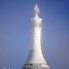
Mount Greylock State Reservation
11.2 km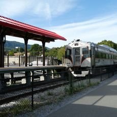
Berkshire Scenic Railway Museum
16 km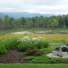
Field Farm
7.1 km
Pittsfield State Forest
14.6 km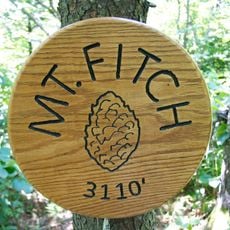
Mount Fitch
13.2 km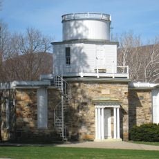
Hopkins Observatory
14.1 km
1753 House
13.8 km
Congregation Beth Israel
15 km
Pittsfield and North Adams Railroad
15.8 km
Quaker Meetinghouse
15.2 km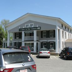
Five Corners Historic District
7.6 km
Hoosac Street School
16.2 km
Farnams Village Historic District
12.4 km
Boston Finishing Works
13.7 km
St. Luke's Episcopal Church
6.8 km
Williamstown Rail Yard and Station Historic District
15.4 km
Cheshire Town Hall Complex
13.5 km
Eber Sherman Farm
15.1 km
Mill Village Historic District
15.1 km
Pettibone Farm
12.8 km
William B. Sherman Farm
14.9 km
Col. Benjamin Simond House
15.5 km
Hancock Town Hall
7.4 km
Summer Street Historic District
15.9 km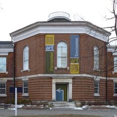
Williams College Museum of Art
14 kmReviews
Visited this place? Tap the stars to rate it and share your experience / photos with the community! Try now! You can cancel it anytime.
Discover hidden gems everywhere you go!
From secret cafés to breathtaking viewpoints, skip the crowded tourist spots and find places that match your style. Our app makes it easy with voice search, smart filtering, route optimization, and insider tips from travelers worldwide. Download now for the complete mobile experience.

A unique approach to discovering new places❞
— Le Figaro
All the places worth exploring❞
— France Info
A tailor-made excursion in just a few clicks❞
— 20 Minutes