
Upper Pohatcong Mountain, mountain in United States of America
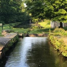
Morris Canal
10.8 km
Land of Make Believe
10.6 km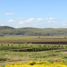
Jenny Jump State Forest
6.7 km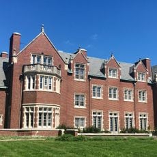
Rutherfurd Hall
9 km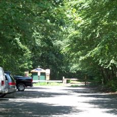
Allamuchy Mountain State Park
11.1 km
Schooley's Mountain
5.9 km
Stephens State Park
5.3 km
Seward Mansion
11.7 km
Turkey Brook Park
11.8 km
Jacob C. Allen House
2.8 km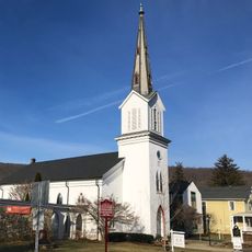
German Valley Historic District
9.3 km
Danville Mountain
7.1 km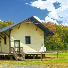
Allamuchy Freight House
10.6 km
Port Murray Historic District
7.1 km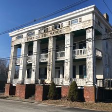
Port Colden Historic District
11.6 km
Beattystown Historic District
3.5 km
Sharpenstine Farmstead
10.3 km
Miller Farmstead
6.8 km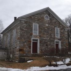
Mount Bethel Methodist Church
3.9 km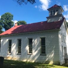
Mount Olive Village Historic District
10.8 km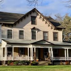
Schooley's Mountain Historic District
5.9 km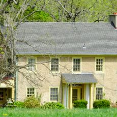
Anthony-Corwin Farm
9.2 km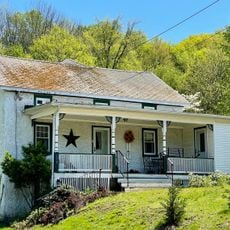
Craft-Clausen House
11.3 km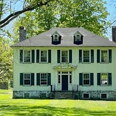
Leonard Neighbor Farmstead
9.5 km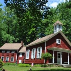
Flocktown Schoolhouse
6.9 km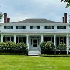
Jacob Wise Neighbor House
9.2 km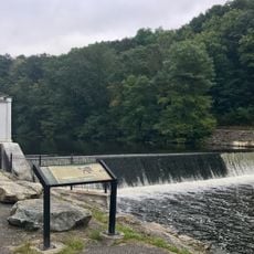
Saxton Falls Dam
7.4 km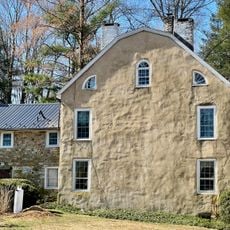
Middle Valley Historic District
9.9 kmReviews
Visited this place? Tap the stars to rate it and share your experience / photos with the community! Try now! You can cancel it anytime.
Discover hidden gems everywhere you go!
From secret cafés to breathtaking viewpoints, skip the crowded tourist spots and find places that match your style. Our app makes it easy with voice search, smart filtering, route optimization, and insider tips from travelers worldwide. Download now for the complete mobile experience.

A unique approach to discovering new places❞
— Le Figaro
All the places worth exploring❞
— France Info
A tailor-made excursion in just a few clicks❞
— 20 Minutes