
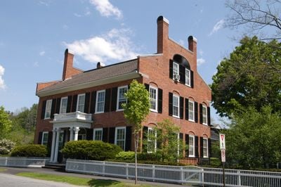
Woodstock, village in the Town of Woodstock, Vermont, United States
Location: Woodstock
Elevation above the sea: 214 m
GPS coordinates: 43.62360,-72.51720
Latest update: June 18, 2025 23:20
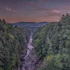
Quechee Gorge
9.1 km
Marsh-Billings-Rockefeller National Historical Park
1.8 km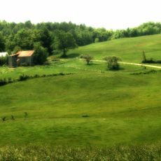
Jenne Farm
11.6 km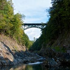
Quechee Gorge Bridge
8.9 km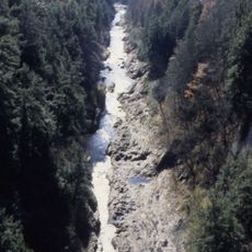
Quechee State Park
9.5 km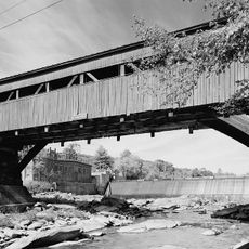
Taftsville Covered Bridge
4.1 km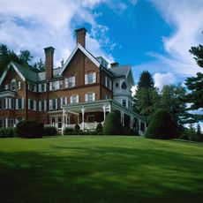
George Perkins Marsh Boyhood Home
557 m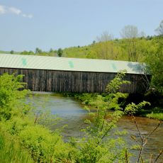
Lincoln Covered Bridge
4.9 km
Taftsville Historic District
3.5 km
King Farm
2.1 km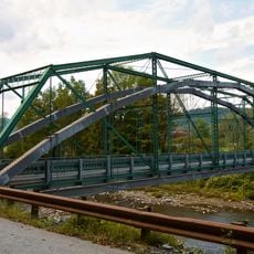
West Woodstock Bridge
2.4 km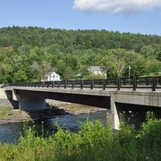
West Hartford Bridge
12.7 km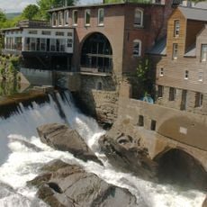
Quechee Historic Mill District
8.4 km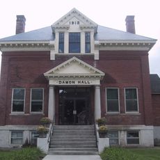
Damon Hall
13.1 km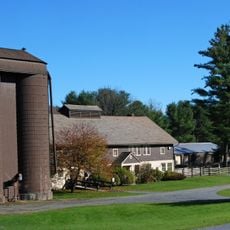
Billings Farm Museum
877 m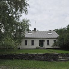
Aiken Stand Complex
13.5 km
Jedediah Strong II House
9.7 km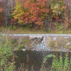
Woodstock Warren Through Truss Bridge
6.4 km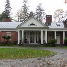
David Sumner House
13.3 km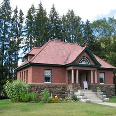
Abbott Memorial Library
4.9 km
Dewey House
9.2 km
Saddlebow Farm
8.3 km
Charles Marsh Law Office
936 m
Ottauquechee River Bridge
13.3 km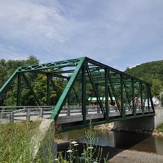
Bridgewater Corners Bridge
12 km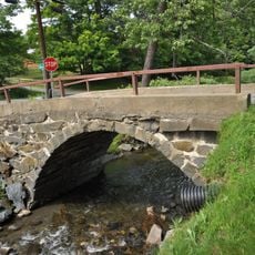
Kendron Brook Bridge
4.7 km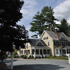
Wales N. Johnson House
2.9 km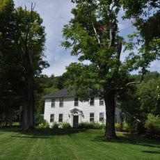
Rev. George Daman House
4 kmReviews
Visited this place? Tap the stars to rate it and share your experience / photos with the community! Try now! You can cancel it anytime.
Discover hidden gems everywhere you go!
From secret cafés to breathtaking viewpoints, skip the crowded tourist spots and find places that match your style. Our app makes it easy with voice search, smart filtering, route optimization, and insider tips from travelers worldwide. Download now for the complete mobile experience.

A unique approach to discovering new places❞
— Le Figaro
All the places worth exploring❞
— France Info
A tailor-made excursion in just a few clicks❞
— 20 Minutes