
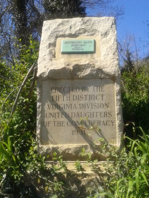
Proctor Creek, Jefferson Davis Highway Marker
Proctor Creek, Jefferson Davis Highway Marker, place in Virginia listed on National Register of Historic Places
Location: Chesterfield County
GPS coordinates: 37.39669,-77.43045
Latest update: September 23, 2025 15:09
Henricus
6.5 km
Pocahontas State Park
12.7 km
Varina-Enon Bridge
8 km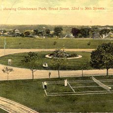
Chimborazo Park
6.2 km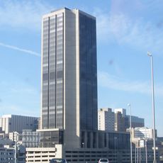
James Monroe Building
15.5 km
Dutch Gap
7 km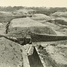
Fort Darling
2.7 km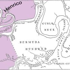
Henrico City
8.5 km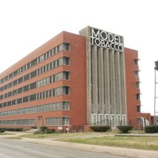
Model Tobacco Building
12.1 km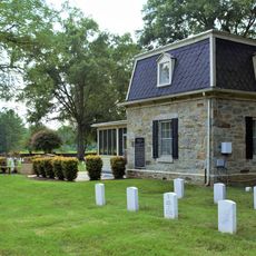
Fort Harrison National Cemetery
6.6 km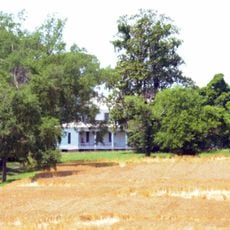
Tree Hill
11.2 km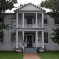
Magnolia Grange
7.2 km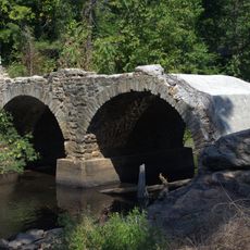
Bridge at Falling Creek
4.8 km
American Tobacco Company, South Richmond Complex Historic District
12.6 km
Swift Creek Rail Bridge
8.8 km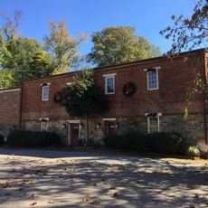
Swift Creek Mill
12.7 km
Chesterfield County Government Complex
6.9 km
Clarke-Palmore House
12.5 km
Philip Morris Blended Leaf Complex Historic District
13 km
Farmer's Rest
6.9 km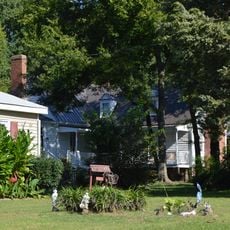
Laurel Meadow
12 km
Blair Tobacco Storage Warehouse Complex Historic District
12.8 km
The Village Grill
4.9 km
Hatcher Island Bridge
5.2 km
Enon Library
11.7 km
Varina Area Library
8.2 km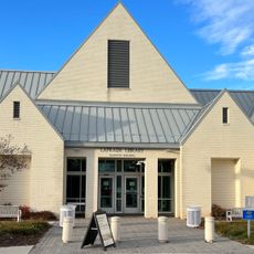
La Prade Library
13.1 km
Meadowdale Library
6 kmReviews
Visited this place? Tap the stars to rate it and share your experience / photos with the community! Try now! You can cancel it anytime.
Discover hidden gems everywhere you go!
From secret cafés to breathtaking viewpoints, skip the crowded tourist spots and find places that match your style. Our app makes it easy with voice search, smart filtering, route optimization, and insider tips from travelers worldwide. Download now for the complete mobile experience.

A unique approach to discovering new places❞
— Le Figaro
All the places worth exploring❞
— France Info
A tailor-made excursion in just a few clicks❞
— 20 Minutes