
Bushfield, human settlement in United States of America
Location: Westmoreland County
GPS coordinates: 38.13333,-76.71417
Latest update: April 15, 2025 22:05
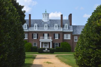
Stratford Hall
11.2 km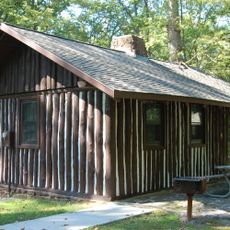
Westmoreland State Park
13.7 km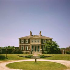
Mount Airy
19.2 km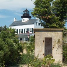
St. Clement's Island State Park
8.8 km
St. Francis Xavier Church and Newtown Manor House Historic District
13.7 km
Spence's Point
15 km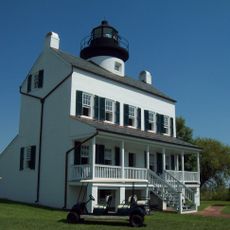
Blakistone Island Light
8.7 km
Tudor Hall
18.5 km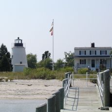
Piney Point Light
16.2 km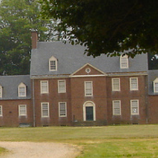
Panorama
11.7 km
Mount Pleasant
8.9 km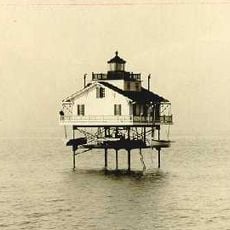
Cobb Point Bar Light
15.6 km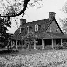
Ocean Hall
18.4 km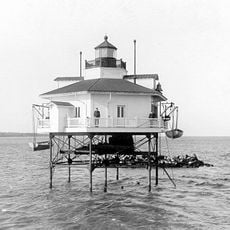
Ragged Point Light
10.2 km
Armstead T. Johnson High School
8.6 km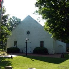
St. George's Episcopal Church
18.2 km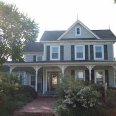
Abell House
18.6 km
Kinsale Historic District
16.4 km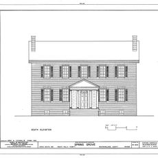
Spring Grove
5.3 km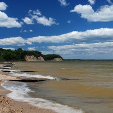
Stratford Hall Historic Preserve
11.2 km
Piney Point Lighthouse Museum & Historic Park
16.2 km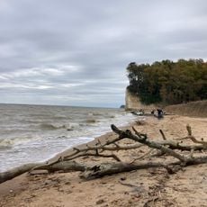
Fossil Beach
12.8 km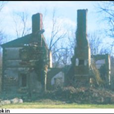
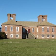
Menokin
10.7 km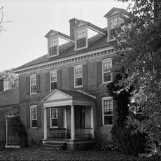
Mulberry Fields
15 km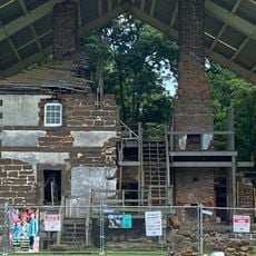
Menokin
16 km
The Sands
15.1 km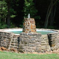
Westmoreland State Park Fountain
13.9 km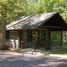
Westmoreland State Park Historic District
14 kmVisited this place? Tap the stars to rate it and share your experience / photos with the community! Try now! You can cancel it anytime.
Discover hidden gems everywhere you go!
From secret cafés to breathtaking viewpoints, skip the crowded tourist spots and find places that match your style. Our app makes it easy with voice search, smart filtering, route optimization, and insider tips from travelers worldwide. Download now for the complete mobile experience.

A unique approach to discovering new places❞
— Le Figaro
All the places worth exploring❞
— France Info
A tailor-made excursion in just a few clicks❞
— 20 Minutes