
Crandon Lakes, Stausee in den Vereinigten Staaten
Location: Sussex County
Elevation above the sea: 265 m
GPS coordinates: 41.13083,-74.84056
Latest update: March 9, 2025 23:00
Delaware Water Gap National Recreation Area
6.7 km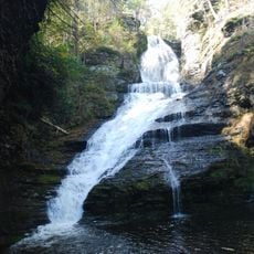
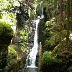
Dingmans Falls
11.9 km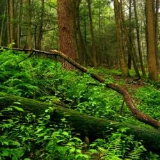
Stokes State Forest
7 km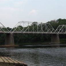
Dingman's Ferry Bridge
10.1 km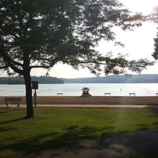
Swartswood State Park
6.6 km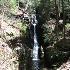
Silverthread Falls
11.8 km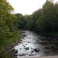
Flat Brook
6.5 km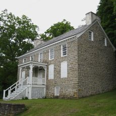
Van Campen's Inn
5.7 km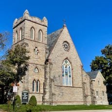
Christ Church, Newton
11 km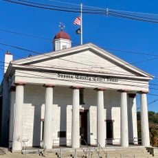
Sussex County Courthouse
10.8 km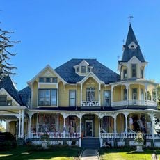
Henry W. Merriam House
11.2 km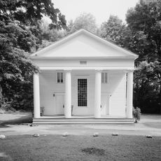
Dingman's Ferry Dutch Reformed Church
10.8 km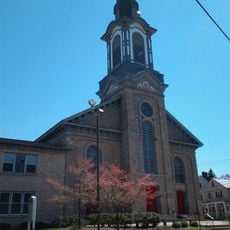
First Presbyterian Church
10.9 km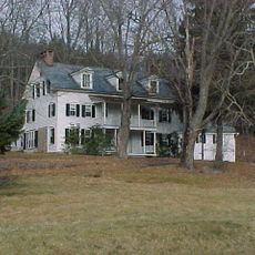
Brodhead Farm
7 km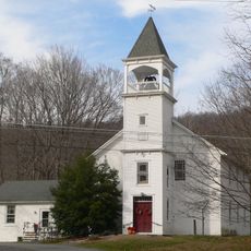
Harmony Hill United Methodist Church
10.4 km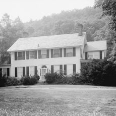
Nyce Farm
7.6 km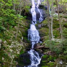
Buttermilk Falls
4.1 km
Old Mine Road Historic District
11.1 km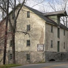
Casper and Abraham Shafer Grist Mill Complex
11.2 km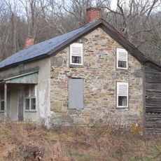
Andrew Snable House
5 km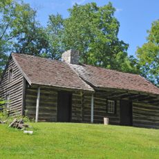
Rutan Farm
10.8 km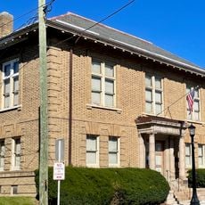
Hill Memorial
11 km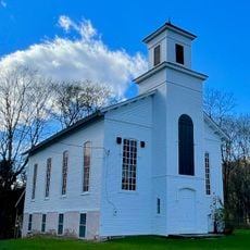
Walpack Methodist Church
4.4 km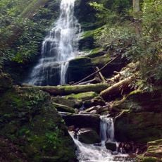
Silver Spray Falls
3.3 km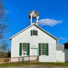
Wallpack Center Historic District
4.6 km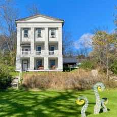
Peters Valley Historic District
7.3 km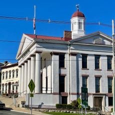
Newton Town Plot Historic District
11 km
Old Mine Road
9 kmReviews
Visited this place? Tap the stars to rate it and share your experience / photos with the community! Try now! You can cancel it anytime.
Discover hidden gems everywhere you go!
From secret cafés to breathtaking viewpoints, skip the crowded tourist spots and find places that match your style. Our app makes it easy with voice search, smart filtering, route optimization, and insider tips from travelers worldwide. Download now for the complete mobile experience.

A unique approach to discovering new places❞
— Le Figaro
All the places worth exploring❞
— France Info
A tailor-made excursion in just a few clicks❞
— 20 Minutes