
Wohnhausanlage Mengergasse 66–70, public housing in Floridsdorf
Location: Vienna
Location: Floridsdorf
Inception: 1963
Architects: Raoul Lavaulx, Roland Wagner
Address: Mengergasse 66–70, 1210 Wien
GPS coordinates: 48.25463,16.41319
Latest update: April 4, 2025 05:11

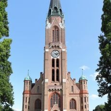
Church of Donaufeld
400 m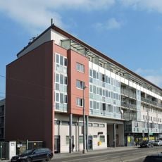
Frauen-Werk-Stadt
560 m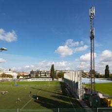
Sportplatz Donaufeld
445 m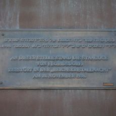
Synagoge Floridsdorf
772 m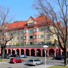
Bieler Hof, Floridsdorf
340 m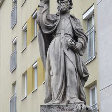
Statue of Saint Patricius, Leopoldauer Straße
697 m
Wohnhausanlage Ostmarkgasse 48
86 m
Margarete-Schütte-Lihotzky-Hof
568 m
Wohnhausanlage Theodor-Körner-Gasse 28
237 m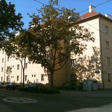
Familienasyl hl.Anna
559 m
Wohnhausanlage Donaufelder Straße 22
207 m
Frederico-Garcia-Lorca-Hof
618 m
Wohnhausanlage Schloßhofer Straße 42
691 m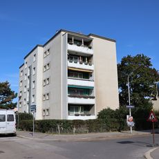
Wohnhausanlage Kirchhoffgasse 13
751 m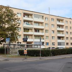
Wohnhausanlage Morelligasse 1–3
775 m
Wohnhaus der Unfallversicherungsanstalt für Niederösterreich
640 m
Rudolf-Hitzinger-Hof
758 m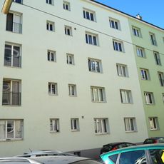
Wohnhausanlage Nordmanngasse 14–16
304 m
Wohnhausanlage Ringelseegasse 11–15
802 m
Wohnhausanlage Schenkendorfgasse 49–53
163 m
Wohnhaus Donaufelderstr 44
169 m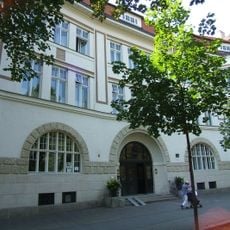
Donaufelder Pfarrhof
452 m
Wohnhaus Fultonstr 5
499 m
Wohnhausanlage Bessemerstraße 10–16
79 m
Wohnhausanlage Scheffelstraße 24
384 m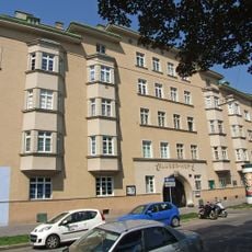
Miethaus, Kluger-Hof
457 m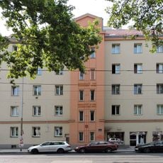
Wohnhausanlage Donaufelder Straße 20
229 m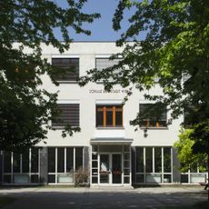
Sonderschule
709 mReviews
Visited this place? Tap the stars to rate it and share your experience / photos with the community! Try now! You can cancel it anytime.
Discover hidden gems everywhere you go!
From secret cafés to breathtaking viewpoints, skip the crowded tourist spots and find places that match your style. Our app makes it easy with voice search, smart filtering, route optimization, and insider tips from travelers worldwide. Download now for the complete mobile experience.

A unique approach to discovering new places❞
— Le Figaro
All the places worth exploring❞
— France Info
A tailor-made excursion in just a few clicks❞
— 20 Minutes