
Mount Clear, district in the Australian Capital Territory in Australia
Location: Australian Capital Territory
Inception: 1966
GPS coordinates: -35.86056,148.99667
Latest update: March 4, 2025 09:12
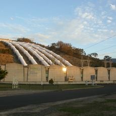
Snowy Mountains Scheme
45.9 km
Honeysuckle Creek Tracking Station
30.9 km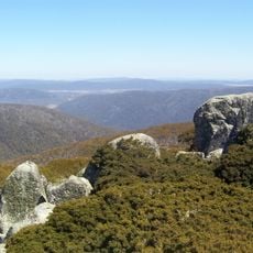
Namadgi National Park
30.6 km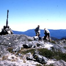
Bimberi Peak
29.1 km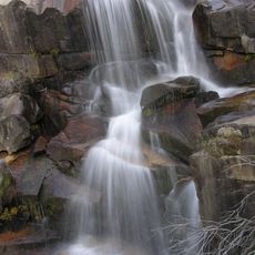
Gibraltar Falls
42 km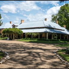
Lanyon Homestead
39.6 km
Mount Tennent
34.9 km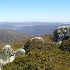
Mount Ginini
42 km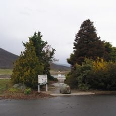
Orroral Valley Tracking Station
26.1 km
Mount Franklin
46.3 km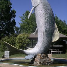
Big Trout
25.2 km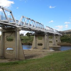
Tharwa Bridge
39.8 km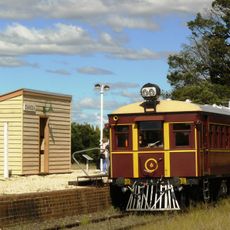
Cooma Monaro Railway
43.7 km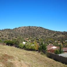
Tuggeranong Hill
46.5 km
Pine Island Reserve
48 km
Snowy Scheme Museum
25.2 km
Gibraltar Peak (Canberra)
45 km
Kiandra Courthouse
45.3 km
Rock Flat Creek
34.1 km
Bredbo River railway bridge, Bredbo
19.6 km
Rock Bolting Development Site
43.7 km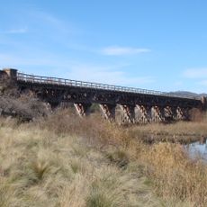
Bredbo River railway bridge
19.6 km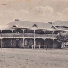
Royal Hotel, Cooma
43.4 km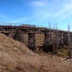
Ingalara Creek railway bridge, Michelago
16.9 km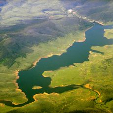
Tantangara Reservoir
32.3 km
Lanyon Homestead
41.8 km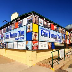
The Corrective Services NSW Museum
43 km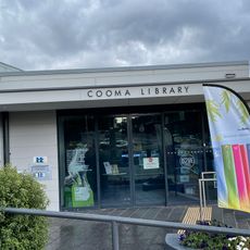
Cooma Library
43.4 kmReviews
Visited this place? Tap the stars to rate it and share your experience / photos with the community! Try now! You can cancel it anytime.
Discover hidden gems everywhere you go!
From secret cafés to breathtaking viewpoints, skip the crowded tourist spots and find places that match your style. Our app makes it easy with voice search, smart filtering, route optimization, and insider tips from travelers worldwide. Download now for the complete mobile experience.

A unique approach to discovering new places❞
— Le Figaro
All the places worth exploring❞
— France Info
A tailor-made excursion in just a few clicks❞
— 20 Minutes