
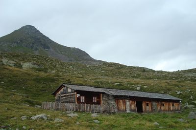
Oberseitalm, Alm in der Fraktion Oberrotte der Gemeinde St. Jakob in Defereggen
Location: Sankt Jakob in Defereggen
Elevation above the sea: 2,298 m
GPS coordinates: 46.93039,12.31864
Latest update: March 23, 2025 14:10
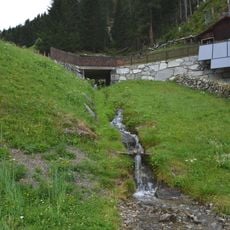
Steinerbach
1.5 km
Steingarten
1.6 km
Ede
1.4 km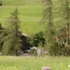
Unterstein
1.8 km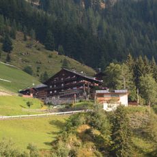
Trojen
1.5 km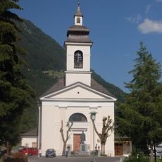
Pfarrkirche St. Jakob in Defereggen
1.7 km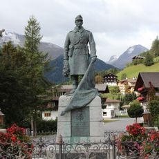
Kriegerdenkmal
1.7 km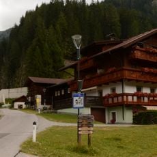
Hirbe
1.8 km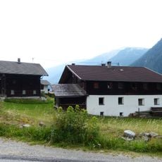
Bauernhof Hirbe
1.8 km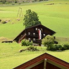
Neuhaus
1.6 km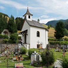
Cemetery St. Jakob in Defereggen
1.6 km
Friedhofskapelle, St. Jakob in Defereggen
1.6 km
Austraghaus Gorlis
1.7 km
Wirtschaftsgebäude Ede
1.4 km
Wirtschaftsgebäude des Paarhofs Maiger
1.3 km
Knappenhaus St. Jakob in Defereggen
1.8 km
Bauernhof Maiger
1.4 km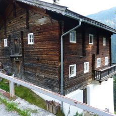
Bauernhaus Peters
1.4 km
Bauernhaus Maiger
1.4 km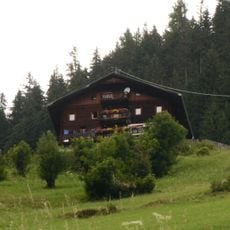
Bauernhaus Ede
1.4 km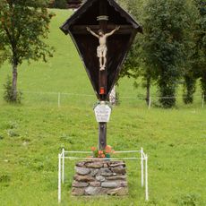
Wegkreuz
1.8 km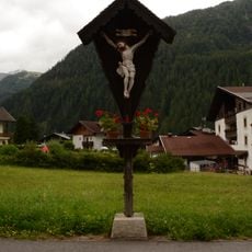
Wegkreuz Unterrotte 53
1.7 km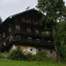
Wohnhaus Paarhof Gorlis
1.7 km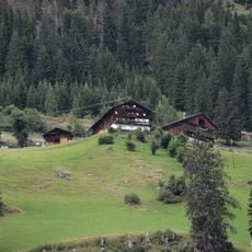
Unterrotte 29
1.4 km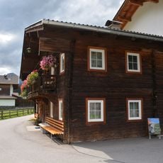
Bauernhaus Jöser
1.8 km
Einhof Hirbe
1.7 km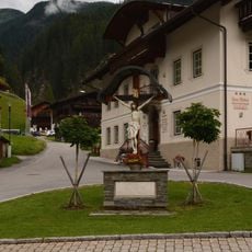
Wegkreuz Unterrotte 4
1.7 km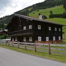
Bauernhaus Weißkopf
1.8 kmReviews
Visited this place? Tap the stars to rate it and share your experience / photos with the community! Try now! You can cancel it anytime.
Discover hidden gems everywhere you go!
From secret cafés to breathtaking viewpoints, skip the crowded tourist spots and find places that match your style. Our app makes it easy with voice search, smart filtering, route optimization, and insider tips from travelers worldwide. Download now for the complete mobile experience.

A unique approach to discovering new places❞
— Le Figaro
All the places worth exploring❞
— France Info
A tailor-made excursion in just a few clicks❞
— 20 Minutes