
Peulisbossen, protected area in Belgium (E-142)
Location: Putte
Inception: 1998
GPS coordinates: 51.02794,4.58378
Latest update: March 22, 2025 21:48
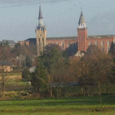
Sint-Ursula-Instituut
4.1 km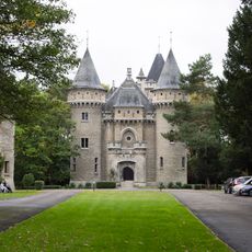
Castle of Zellaer
3.3 km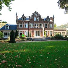
Kasteel Befferhof
4.6 km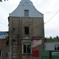
Jachtslot van Berentrode
1.4 km
Heimolen
4.8 km
Bethlehem Abbey
2.6 km
Saint Martin's Church
3 km
Kasteel Hollaken
3.5 km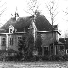
Kasteel Weyneshof
1.7 km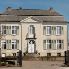
Old Town Hall of Putte
4.6 km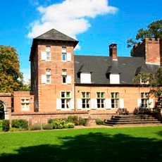
Kasteel Lombaardstein
4.5 km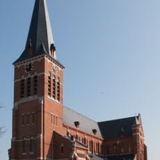
Sint-Niklaaskerk
4.5 km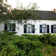
Latoenehoeve
4 km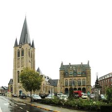
Gemeentehuis van Onze-Lieve-Vrouwe-Waver
3.8 km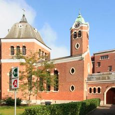
Sanatorium
2.2 km
Sint-Michielskerk
4.2 km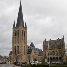
Onze-Lieve-Vrouwekerk
3.9 km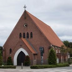
Sint-Ludwinakerk
3.5 km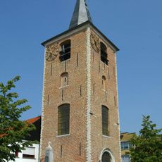
Old Sint-Michielskerk
4.1 km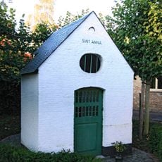
Sint-Annakapel
4 km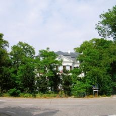
Kasteel Trianon
5.1 km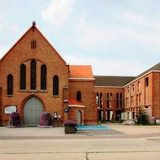
Onze-Lieve-Vrouw van Smartenkerk
4.1 km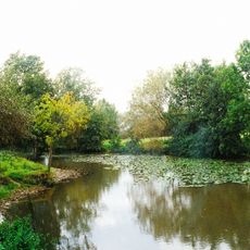
Kasteel Ravestein
4 km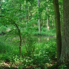
Broekelei
3.5 km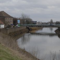
Muizen bridge
4.8 km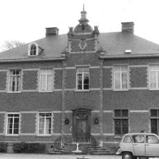
Muysenhuys
4.2 km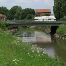
Rijmenam bridge
3.2 km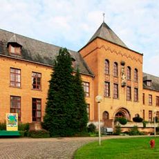
Verzorgingstehuis Borgerstein
5.1 kmReviews
Visited this place? Tap the stars to rate it and share your experience / photos with the community! Try now! You can cancel it anytime.
Discover hidden gems everywhere you go!
From secret cafés to breathtaking viewpoints, skip the crowded tourist spots and find places that match your style. Our app makes it easy with voice search, smart filtering, route optimization, and insider tips from travelers worldwide. Download now for the complete mobile experience.

A unique approach to discovering new places❞
— Le Figaro
All the places worth exploring❞
— France Info
A tailor-made excursion in just a few clicks❞
— 20 Minutes