
Robbroek, protected area in Belgium (V-045)
Location: Mechelen
Inception: 2001
GPS coordinates: 51.03491,4.43736
Latest update: August 11, 2025 03:21
Béguinages in Flanders
2.6 km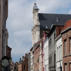
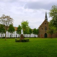
Béguinage of Mechelen
2.6 km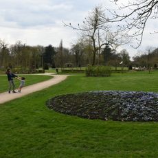
Vrijbroekpark
2.3 km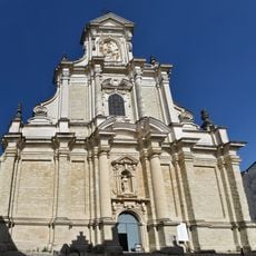
Begijnhofkerk
2.6 km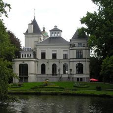
Tivoli Kasteel
2.7 km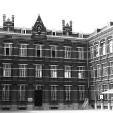
Scheppersinstituut Mechelen
2.7 km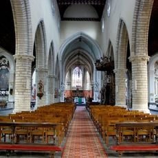
Sint-Katelijnekerk
2.7 km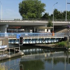
Battelbrug
708 m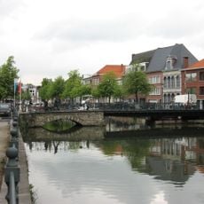
Kraanbrug
2.8 km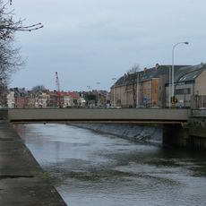
Katelijnepoortbrug
2.7 km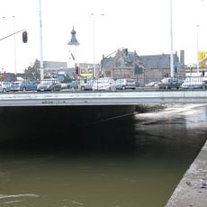
Van Kesbeeckbrug
2.5 km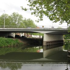
Winket bridge
2.4 km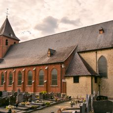
Sint-Niklaaskerk
1.3 km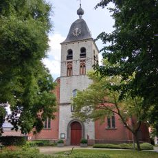
Sint-Martinuskerk
2.2 km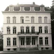
Hof ter Linden
1.2 km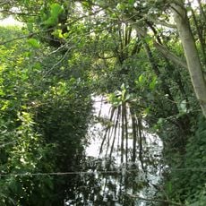
Aabeek
1.5 km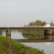
Heffenbrug
1.6 km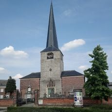
Sint-Amanduskerk
1.7 km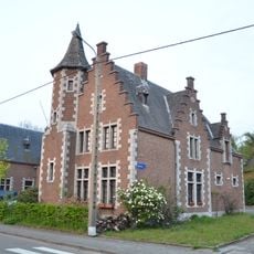
Kasteel Empain
879 m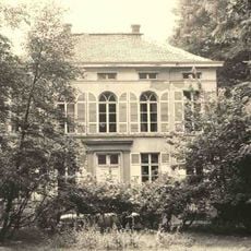
Kasteel Moyson
1.4 km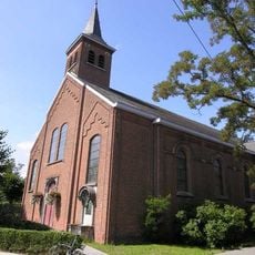
Sint-Jozefskerk
809 m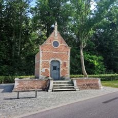
Kapel Onze-Lieve-Vrouw Ten Doorn
2.7 km
Sint-Jozefkapel
1.7 km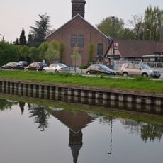
Sint-Jozefkerk
801 m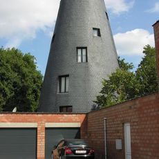
Molen van Meeusen
2.4 km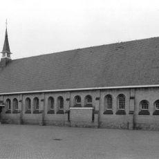
Heilig Kruiskerk
2.4 km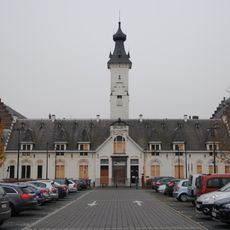
Van der Valk Hotel Mechelen
2.3 km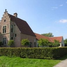
Hoeve Hooghuis
1.9 kmReviews
Visited this place? Tap the stars to rate it and share your experience / photos with the community! Try now! You can cancel it anytime.
Discover hidden gems everywhere you go!
From secret cafés to breathtaking viewpoints, skip the crowded tourist spots and find places that match your style. Our app makes it easy with voice search, smart filtering, route optimization, and insider tips from travelers worldwide. Download now for the complete mobile experience.

A unique approach to discovering new places❞
— Le Figaro
All the places worth exploring❞
— France Info
A tailor-made excursion in just a few clicks❞
— 20 Minutes