
整控渡摩崖
Location: Lancang Lahu Autonomous County
GPS coordinates: 22.49373,100.57718
Latest update: April 18, 2025 01:01

Honghe Hani Rice Terraces
231.5 km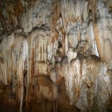
Nam Ha National Protected Area
199.3 km
Wat Phra That Doi Wao
239.5 km
Xishuangbanna Tropical Botanical Garden
103.3 km
Zongfo Temple
60.9 km
Bokeo Nature Reserve
220.6 km
Mongyawng State
147.5 km
Manfeilong Pagoda
100 km
Phu Si Lung
227.7 km
Manduan Buddhist Temple
65.4 km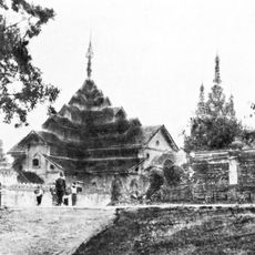
Maha Myat Muni Temple
167.4 km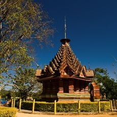
Jingzhen Octagonal Pavilion
66.3 km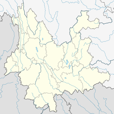
Ganlanba Bridge
80.6 km
Wat Hiranyawat
239.1 km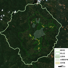
Cultural Landscape of Old Tea Forests of the Jingmai Mountain in Pu’er
68 km
西双版纳花卉园周总理视察热作所纪念碑
57.7 km
Luang Namtha Museum
186.6 km
Jinlong Temple
159.7 km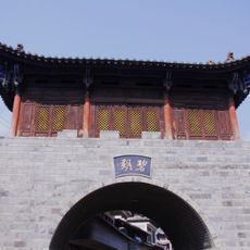
碧溪传统民居建筑群
160.3 km
Wat Phrom Wihan
241.2 km
Banlao White Pagoda
188.6 km
Manchunman Temple
80.7 km
上城佛寺
104.3 km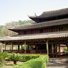
Menglian Xuanfu Residence
104.4 km
Duoyishu Viewpoint
237.1 km
Xishuangbanna Nationalities Museum
63.6 km
Jinghong Dafo
64 km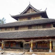
Zhongcheng Temple
104.3 kmReviews
Visited this place? Tap the stars to rate it and share your experience / photos with the community! Try now! You can cancel it anytime.
Discover hidden gems everywhere you go!
From secret cafés to breathtaking viewpoints, skip the crowded tourist spots and find places that match your style. Our app makes it easy with voice search, smart filtering, route optimization, and insider tips from travelers worldwide. Download now for the complete mobile experience.

A unique approach to discovering new places❞
— Le Figaro
All the places worth exploring❞
— France Info
A tailor-made excursion in just a few clicks❞
— 20 Minutes