
回龙桥
Location: Yongren County
GPS coordinates: 26.04896,101.67137
Latest update: September 23, 2025 14:04
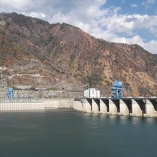
Ertan Dam
86.7 km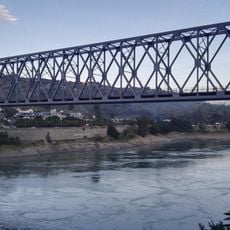
Jinshajiang Bridge of Chengkun Railway
61.5 km
Yingpancun tomb complex
102.1 km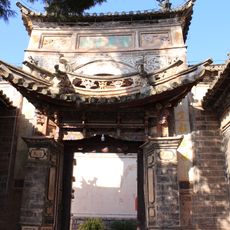
Longhua Temple, Yaoan
70.3 km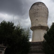
Dayao White Pagoda
50.5 km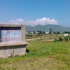
Baiyangcun archaeological site
111 km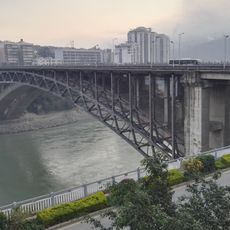
Midi bridge
59.2 km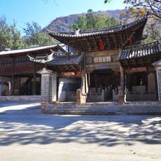
期纳古建筑群
109 km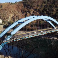
Luoguo bridge
62.6 km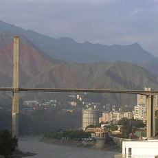
Bingcaogang Bridge
58.7 km
丰裕桥
107 km
星宿桥
107.7 km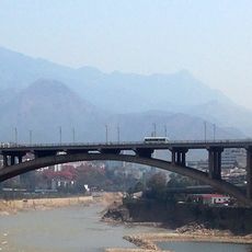
Dukou bridge
56.7 km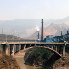
Hehuachi bridge
57.8 km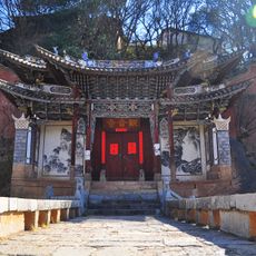
Pingchuan Guanyin Temple
87.7 km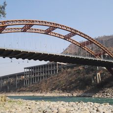
Fala bridge
60.4 km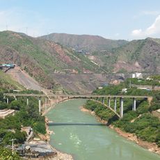
Xinzhuang bridge
59.8 km
Baodin bridge
61.8 km
杨氏宗祠名人题刻
87.5 km
Yangpai Shuiku
75.9 km
Haishao reservoir
109.3 km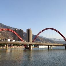
迷昜湖大桥
102.9 km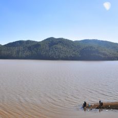
Maobanqiao Reservoir
103.7 km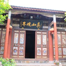
Defeng Temple
74.4 km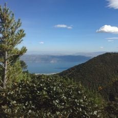
Dali Mount Cangshan Geopark
101.8 km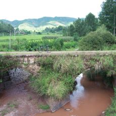
李贽桥
83.6 km
元谋人博物馆
41.7 km
Dahaizi Reservoir
46.1 kmReviews
Visited this place? Tap the stars to rate it and share your experience / photos with the community! Try now! You can cancel it anytime.
Discover hidden gems everywhere you go!
From secret cafés to breathtaking viewpoints, skip the crowded tourist spots and find places that match your style. Our app makes it easy with voice search, smart filtering, route optimization, and insider tips from travelers worldwide. Download now for the complete mobile experience.

A unique approach to discovering new places❞
— Le Figaro
All the places worth exploring❞
— France Info
A tailor-made excursion in just a few clicks❞
— 20 Minutes