
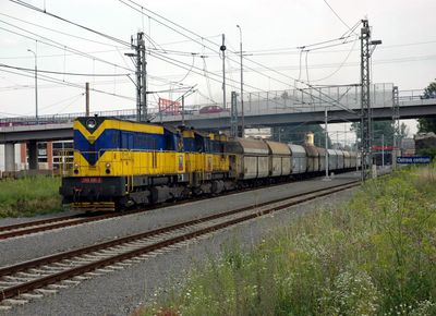
Bridge of Českobratrská street over railway line and Cihelní and Porážková street
Bridge of Českobratrská street over railway line and Cihelní and Porážková street, most silnice II/479 v Moravské Ostravě
Location: Moravská Ostrava
GPS coordinates: 49.83670,18.27864
Latest update: September 23, 2025 16:47
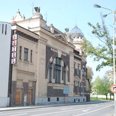
Polský dům
295 m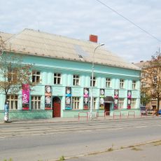
Divadlo Petra Bezruče
685 m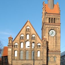
Kristův kostel
667 m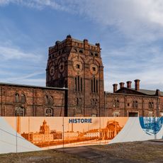
Jatka
209 m
Jiří Myron Theatre
690 m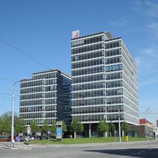
Tieto Towers
665 m
Gallery of Fine Arts in Ostrava
655 m
Domo de artoj (Ostrava)
659 m
Krausova vila
707 m
Integrované bezpečnostní centrum
351 m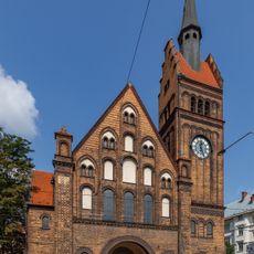
Farní sbor Českobratrské církve evangelické v Ostravě
664 m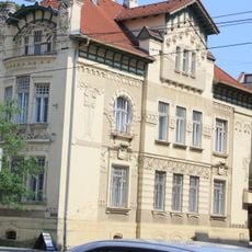
Milíčova 20
680 m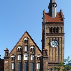
Zbór Śląskiego Kościoła Ewangelickiego Augsburskiego Wyznania w Ostrawie
664 m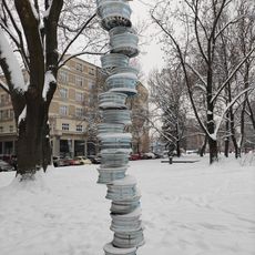
Ne-Stabil
706 m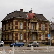
Nemocniční 18
387 m
Platan javorolistý na Poděbradově ulici
544 m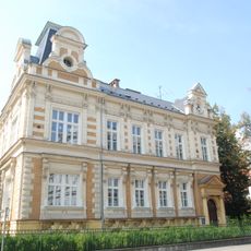
Mateřská škola
467 m
Čs. legií 20
619 m
Nádražní 26
544 m
Tyršova 19
607 m
Zahradní 10
655 m
Občanská záložna
695 m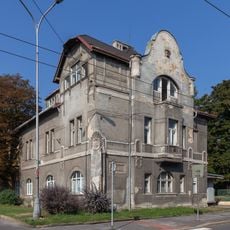
Hornopolní 7
370 m
Rectory of Evangelical Church of Czech Brethren in Ostrava
639 m
Komerční banka
652 m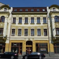
Nádražní 16
585 m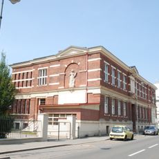
Škola
316 m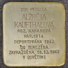
Stolperstein dedicated to Alžběta Kaufthalová
348 mReviews
Visited this place? Tap the stars to rate it and share your experience / photos with the community! Try now! You can cancel it anytime.
Discover hidden gems everywhere you go!
From secret cafés to breathtaking viewpoints, skip the crowded tourist spots and find places that match your style. Our app makes it easy with voice search, smart filtering, route optimization, and insider tips from travelers worldwide. Download now for the complete mobile experience.

A unique approach to discovering new places❞
— Le Figaro
All the places worth exploring❞
— France Info
A tailor-made excursion in just a few clicks❞
— 20 Minutes