
Frankfurt-Harheim, municipal district and neighborhood of Frankfurt
Location: Frankfurt
Elevation above the sea: 109 m
GPS coordinates: 50.18361,8.69083
Latest update: March 3, 2025 09:08
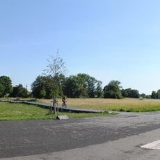
Alter Flugplatz
2.3 km
Burg Bonames
2.1 km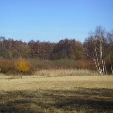
Riedwiesen bei Niederursel
3.3 km
Fire department museums in Frankfurt am Main
2.2 km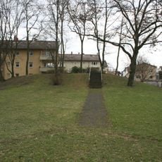
Burg Bachberg
2.9 km
Kreuzkirche (Preungesheim)
3.1 km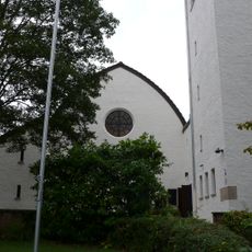
Bethanienkirche (Frankfurt am Main)
2.1 km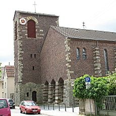
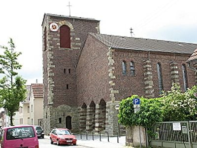
St. Jakobus, Frankfurt-Harheim
157 m
Nordpark
1.6 km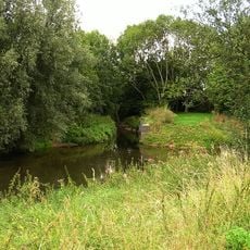
Harheimer Ried
852 m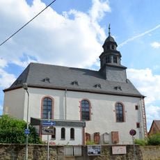
Evangelische Kirche
1.9 km
Kirche Berkersheim
1.4 km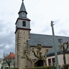
Evangelische Kirche Nieder-Erlenbach
2.5 km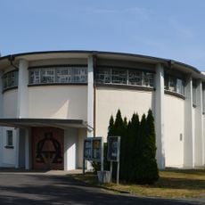
Verklärung Christi (Bad Vilbel)
3.2 km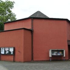
St. Bonifatiuskapelle
2 km
Gut-Hirten-Kirche
2.8 km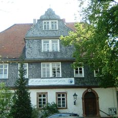
Glauburg (Herrenhaus)
2.6 km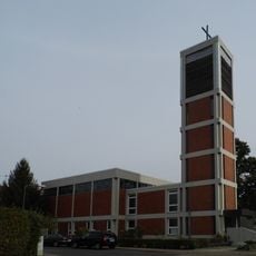
Friedenskirche (Frankfurt-Harheim)
349 m
Evangelische Pfarrkirche
2.2 km
Museum an der Kreuzkirche
3.1 km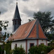
Protestant Church Massenheim
2.4 km
Golf Range Frankfurt
2.6 km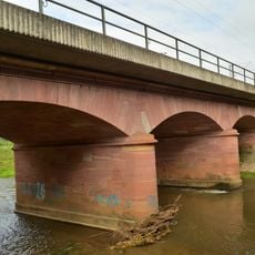
Eisenbahnviadukt
3.2 km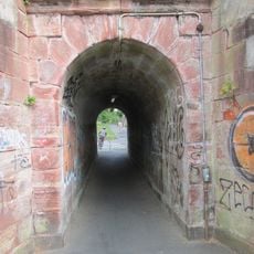
Dammdurchlass - Eisenbahntopographie
3.4 km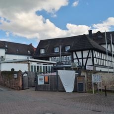
Haus An der Kirche 1
2.4 km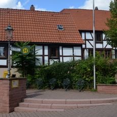
Hirtenhaus
2.4 km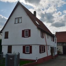
Haus Breite Straße 7Breite Straße 9
2.3 km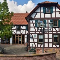
Ehem. Rathaus
2.4 kmReviews
Visited this place? Tap the stars to rate it and share your experience / photos with the community! Try now! You can cancel it anytime.
Discover hidden gems everywhere you go!
From secret cafés to breathtaking viewpoints, skip the crowded tourist spots and find places that match your style. Our app makes it easy with voice search, smart filtering, route optimization, and insider tips from travelers worldwide. Download now for the complete mobile experience.

A unique approach to discovering new places❞
— Le Figaro
All the places worth exploring❞
— France Info
A tailor-made excursion in just a few clicks❞
— 20 Minutes