
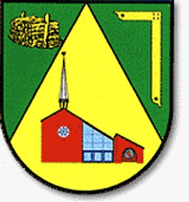
Horstedt, member municipality of the Samtgemeinde (composed municipality) of Sottrum, Lower Saxony, Germany
Location: Sottrum
Location: Rotenburg (Wümme)
Elevation above the sea: 31 m
Website: http://sottrum.de
GPS coordinates: 53.18333,9.23333
Latest update: March 6, 2025 20:04
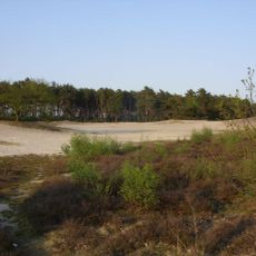
Voßberge
11.6 km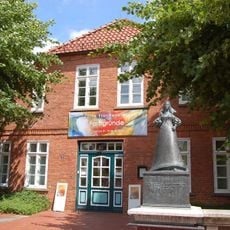
Christinenhaus (Zeven)
12.8 km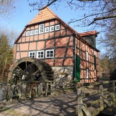
Wassermühle Stuckenborstel
9.3 km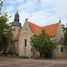
St. Viti-Kirche
13 km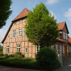
Alte Posthalterei
12.8 km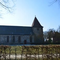
St. Georg
7.4 km
Burg Clüversborstel
5.6 km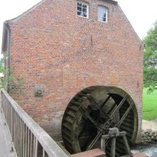
Wassermühle Bademühlen
12.9 km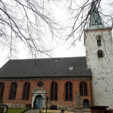
St.-Petri-Kirche
9.5 km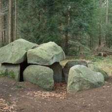
Großsteingräber bei Steinfeld
4.3 km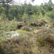
Ottersberger Moor
12.6 km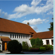
Christ-König-Kirche
11.7 km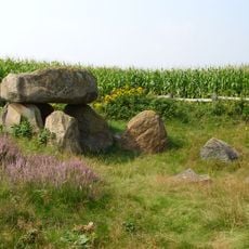
Großsteingrab Badenstedt
8.9 km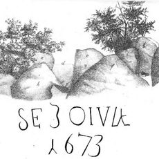
Großsteingrab Nartum
2.2 km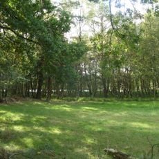
Bullensee und Hemelsmoor
6.4 km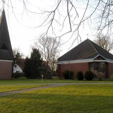
Martin-Luther-Kirche
11.4 km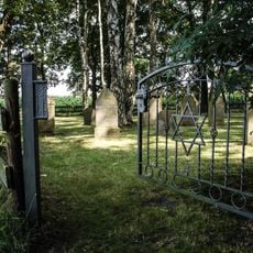
Jewish cemetery, Otterstedt
8.2 km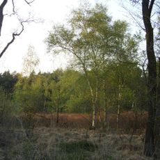
Fährhof
11.7 km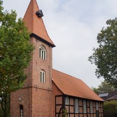
Christophorus-Kirche
10.1 km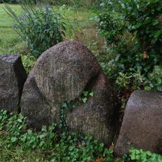
Rillenstein von Tarmstedt
11.7 km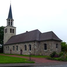
Allerheiligenkirche
10.3 km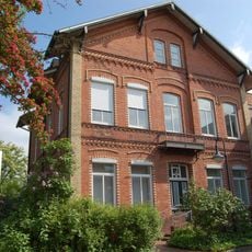
Landvolkhaus Zeven
13 km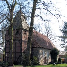
St. Margarethen
6.6 km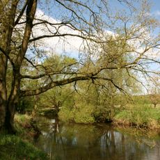
Wümmeniederung unterhalb Rotenburg
11.1 km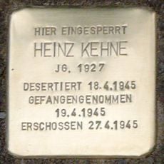
Stolperstein dedicated to Heinz Kehne
8 km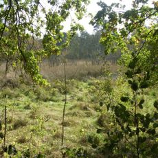
Bullensee, Hemelsmoor
6.4 km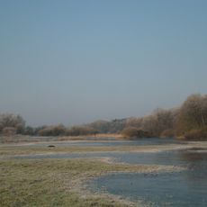
Wümmeniederung
9.6 km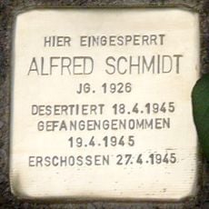
Stolperstein dedicated to Alfred Schmidt
8 kmReviews
Visited this place? Tap the stars to rate it and share your experience / photos with the community! Try now! You can cancel it anytime.
Discover hidden gems everywhere you go!
From secret cafés to breathtaking viewpoints, skip the crowded tourist spots and find places that match your style. Our app makes it easy with voice search, smart filtering, route optimization, and insider tips from travelers worldwide. Download now for the complete mobile experience.

A unique approach to discovering new places❞
— Le Figaro
All the places worth exploring❞
— France Info
A tailor-made excursion in just a few clicks❞
— 20 Minutes