
Obergriesbach, municipality of Germany
Location: Aichach-Friedberg
Elevation above the sea: 479 m
Part of: Verwaltungsgemeinschaft Dasing
Shares border with: Friedberg, Dasing
Website: https://obergriesbach.de
GPS coordinates: 48.41667,11.06667
Latest update: March 8, 2025 00:57
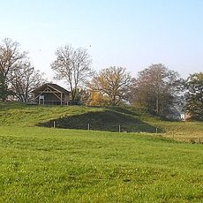
Burgstall Dasing
4.6 km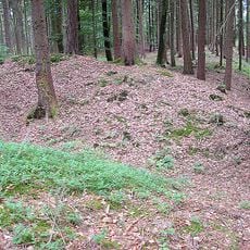
Schwedenschanze
4.2 km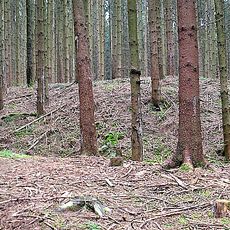
Ringwall im Kirchholz (Haberskirch)
4.6 km
St. Martin
3.8 km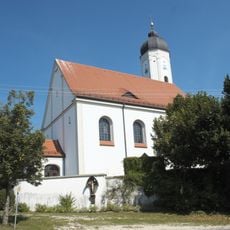
St. Stephan (Obergriesbach)
538 m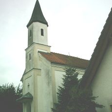
Church of the Visitation
5.8 km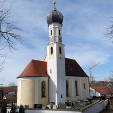
Mariä Verkündigung
1.8 km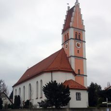
St. Michael
6.3 km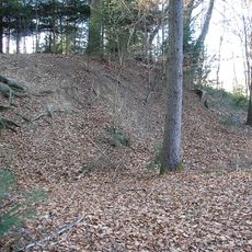
Burgstall Haunswies
5.9 km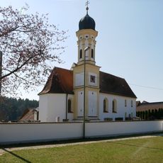
Pfarrkirche (Wessiszell (Dasing))
4.4 km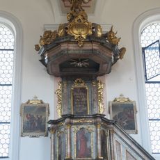
Pulpit of St. Jakobus der Ältere (Haunswies)
6.2 km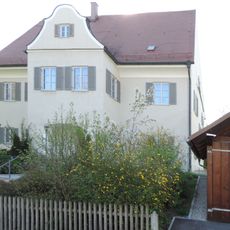
Pfarrhaus
3.9 km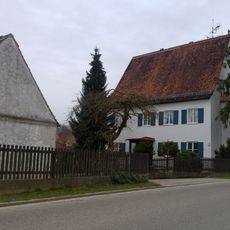
Pfarrhaus
6.3 km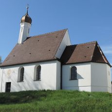
St. Nikolaus (Unterzell)
4.9 km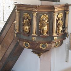
Pulpit of Mariä Verkündigung (Taiting)
1.8 km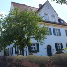
Pfarrhaus
2.4 km
Pulpit of St. Martin (Dasing)
3.8 km
Pfarrhaus
5.6 km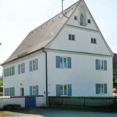
Pfarrhaus
3.5 km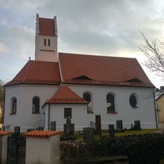
St. Agatha
3.7 km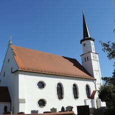
Pfarrkirche St. Peter und Paul
5.7 km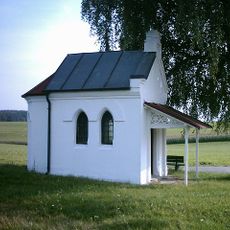
Wegkapelle
6.1 km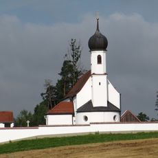
Katholische Pfarrkirche St. Vitus
5 km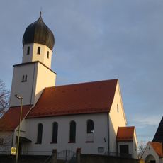
St. Verena
1.9 km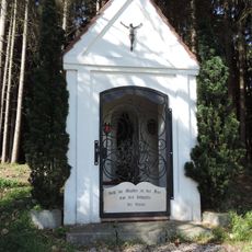
Wegkapelle
4.9 km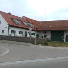
Bauernhaus
6.3 km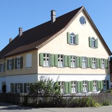
Ehemaliges Gasthaus
5.7 km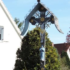
Wegkreuz
4.3 kmReviews
Visited this place? Tap the stars to rate it and share your experience / photos with the community! Try now! You can cancel it anytime.
Discover hidden gems everywhere you go!
From secret cafés to breathtaking viewpoints, skip the crowded tourist spots and find places that match your style. Our app makes it easy with voice search, smart filtering, route optimization, and insider tips from travelers worldwide. Download now for the complete mobile experience.

A unique approach to discovering new places❞
— Le Figaro
All the places worth exploring❞
— France Info
A tailor-made excursion in just a few clicks❞
— 20 Minutes