
Itter, city district of Düsseldorf, Germany
Location: District 9 (Düsseldorf)
GPS coordinates: 51.16500,6.81500
Latest update: March 6, 2025 00:37
Düsseldorf Botanical Garden
2.6 km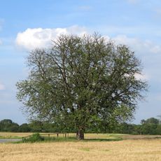
Himmelgeister Kastanie
968 m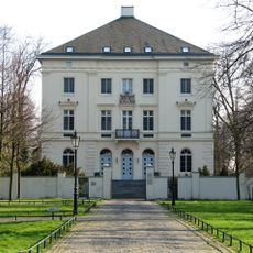
Mickeln House
566 m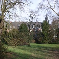
Elbroich
1.4 km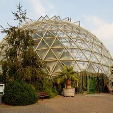
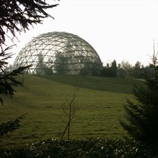
Dome greenhouse
2.6 km
Zonser Grind
2.5 km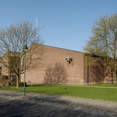
St. Maria in den Benden
2.2 km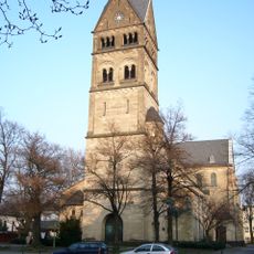
St. Maria Rosenkranz
2.7 km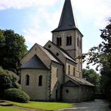
St. Nikolaus
784 m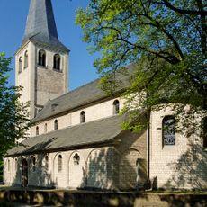
St. Hubertus
319 m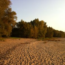
Himmelgeister Rheinbogen
1.9 km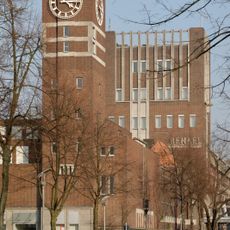
Henkelstraße 67, Gebäude A5
1.9 km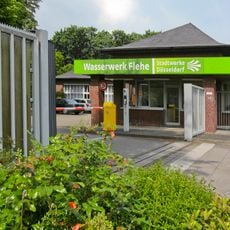
Flehe waterworks
2.8 km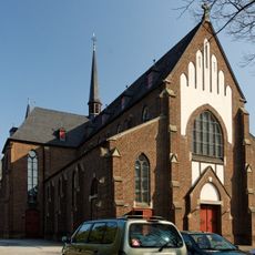
St. Joseph
1.9 km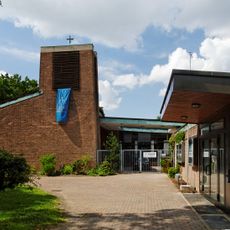
Thomaskirche
3.2 km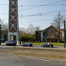
Klarenbachkirche
1.6 km
Uedesheimer Rheinbogen
3.3 km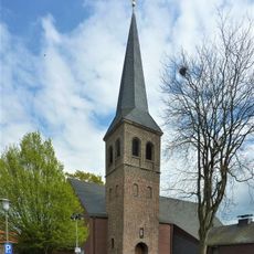
St. Martinus
1.5 km
Holthausen waterworks
678 m
Kirche des hl. Nikolaus von Myra
2.5 km
Auf dem Grind waterworks
1.9 km
Meliesallee 17
3.3 km
Meliesallee 24
3.4 km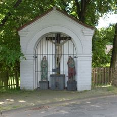
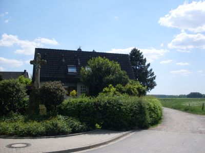
Heiligenhäuschen
245 m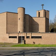
St. Laurentius
1.2 km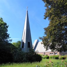
St Luke's Church Stürzelberg
3 km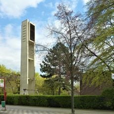
Friedenskirche
2.3 km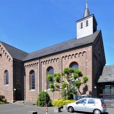
St. Aloysius
2.7 kmReviews
Visited this place? Tap the stars to rate it and share your experience / photos with the community! Try now! You can cancel it anytime.
Discover hidden gems everywhere you go!
From secret cafés to breathtaking viewpoints, skip the crowded tourist spots and find places that match your style. Our app makes it easy with voice search, smart filtering, route optimization, and insider tips from travelers worldwide. Download now for the complete mobile experience.

A unique approach to discovering new places❞
— Le Figaro
All the places worth exploring❞
— France Info
A tailor-made excursion in just a few clicks❞
— 20 Minutes