
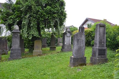
Alter jüdischer Friefhof
Location: Bad Camberg
Address: Kapellenstraße
GPS coordinates: 50.30008,8.27425
Latest update: March 3, 2025 13:20
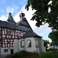
Hohenfeld-Kapelle
287 m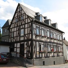
Alte Amtsapotheke
397 m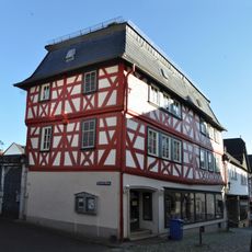
Strackgasse 14
466 m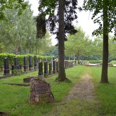
Neuer jüdischer Friefhof (Bad Camberg)
198 m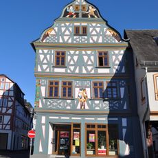
Marktplatz 4
395 m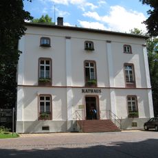
Rathaus
338 m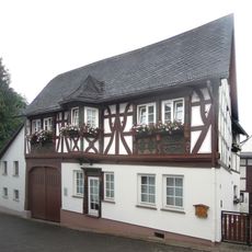
Schmiedgasse 6
452 m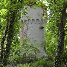
Liebersche´s Anwesen
435 m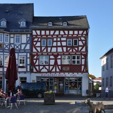
Marktplatz 11
382 m
Grabenstraße 5
430 m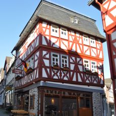
Strackgasse 16
451 m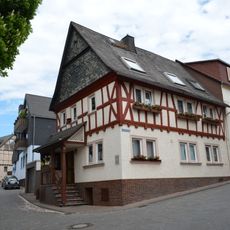
Grabenstraße 1
447 m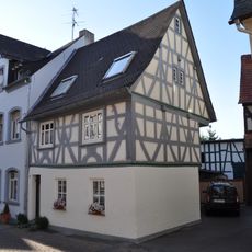
Bächelsgasse 7
478 m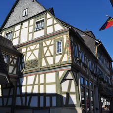
Bächelsgasse 19
410 m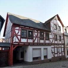
Strackgasse 22/24
421 m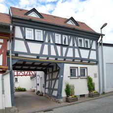
Grabenstraße 7
418 m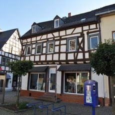
Marktplatz 1
416 m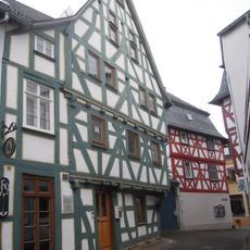
Schmiedgasse 2
458 m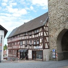
Ehemalige Hirtenhäuser
271 m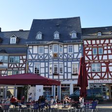
Marktplatz 9
390 m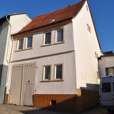
Bächelsgasse 16
449 m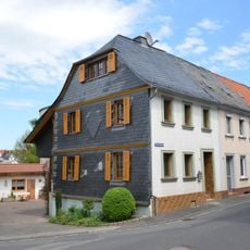
Rosengasse 1
353 m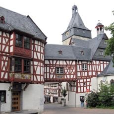
Amthof Bad Camberg
328 m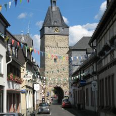
Obertorturm
276 m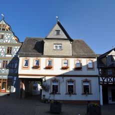
Marktplatz 2
408 m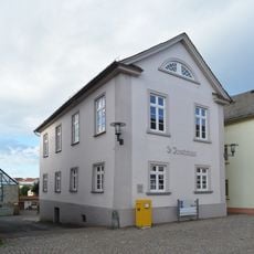
Marktplatz 13
371 m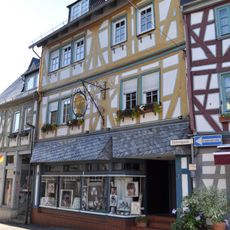
Marktplatz 7
397 m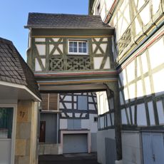
Bächelsgasse 21
402 mReviews
Visited this place? Tap the stars to rate it and share your experience / photos with the community! Try now! You can cancel it anytime.
Discover hidden gems everywhere you go!
From secret cafés to breathtaking viewpoints, skip the crowded tourist spots and find places that match your style. Our app makes it easy with voice search, smart filtering, route optimization, and insider tips from travelers worldwide. Download now for the complete mobile experience.

A unique approach to discovering new places❞
— Le Figaro
All the places worth exploring❞
— France Info
A tailor-made excursion in just a few clicks❞
— 20 Minutes