
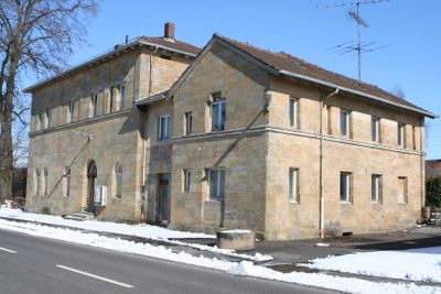
Bahnhofsgebäude, zweigeschossiger Sandsteinquaderbau mit Walmdach, eineinhalbgeschossiger Anbau nach Süden mit Satteldach („Bahnwärterkaserne“), 1846 von Eduard Rüber nach Plänen von Friedrich Bürklein, Erweiterung nach Norden 1895, Vergrößerung des Stellw
Location: Ebensfeld
Address: Bahnhofstraße 18
GPS coordinates: 50.06896,10.95451
Latest update: March 12, 2025 11:09
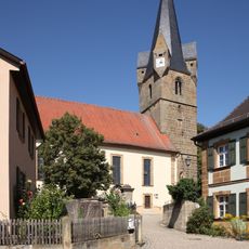
St. Martin
2.2 km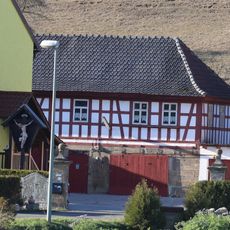
Mönchshof
1.7 km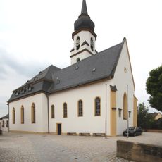
Mariä Verkündigung
295 m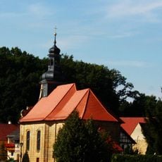
Saalkirche
990 m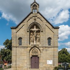
Friedhofskapelle
579 m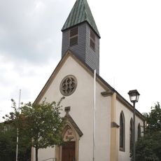
Katholisch
2 km
Brunnen
2.1 km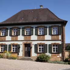
Pfarrhaus
2.2 km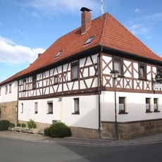
Gasthaus
2.1 km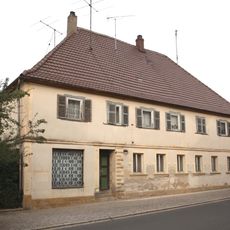
Gasthaus
2.2 km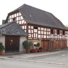
Brauhaus
2.2 km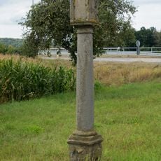
Bildstock
1.1 km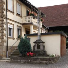
Kreuz
2.2 km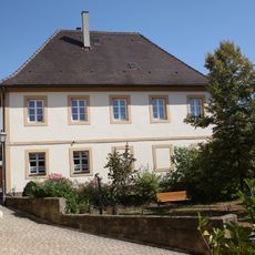
Schulgebäude
2.2 km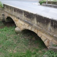
Brücke
2.2 km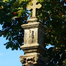
Bildstock
1.5 km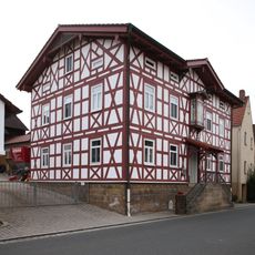
Cultural heritage D-4-78-120-55 in Ebensfeld
2.1 km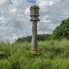
Bildstock
2.1 km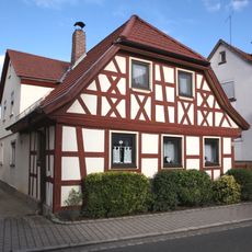
Cultural heritage D-4-78-120-51 in Ebensfeld
2.1 km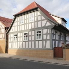
Cultural heritage D-4-78-120-53 in Ebensfeld
2 km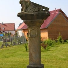
Kreuzschlepper
604 m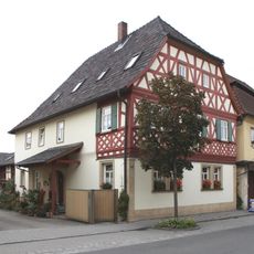
Wohnhaus
410 m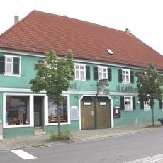
Gasthaus
397 m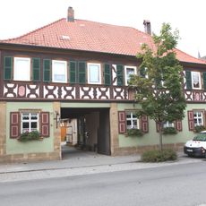
Wohnhaus
390 m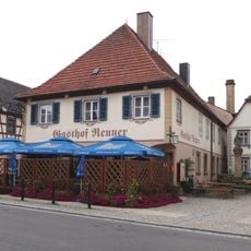
Brauerei
367 m
Wohnhaus
592 m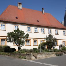
Kirchenverwaltungsgebäude
2.2 km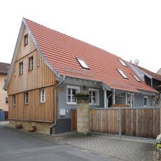
Wohnhaus
498 mVisited this place? Tap the stars to rate it and share your experience / photos with the community! Try now! You can cancel it anytime.
Discover hidden gems everywhere you go!
From secret cafés to breathtaking viewpoints, skip the crowded tourist spots and find places that match your style. Our app makes it easy with voice search, smart filtering, route optimization, and insider tips from travelers worldwide. Download now for the complete mobile experience.

A unique approach to discovering new places❞
— Le Figaro
All the places worth exploring❞
— France Info
A tailor-made excursion in just a few clicks❞
— 20 Minutes