
Steinkreuz, sog. Schwedenkreuz, 17. Jahrhundert
Location: Prackenbach
Address: an der Straße nach Altrandsberg
GPS coordinates: 49.11815,12.76898
Latest update: July 24, 2025 12:59

Konzerthaus Blaibach
6 km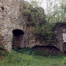
Burg Neurandsberg
2 km
Mariä Himmelfahrt (Zandt)
5.3 km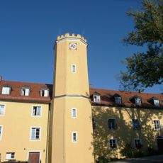
Schloss Zandt
5.2 km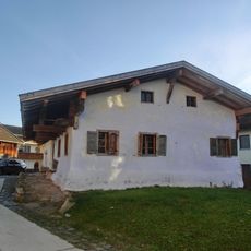
Waldlerhaus
6 km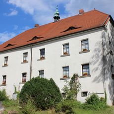
Ehemaliges Schloss
6.3 km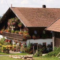
Zierling 5
6.5 km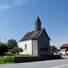
Mariahilfkapelle
4.6 km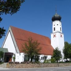
St. Martin
4.4 km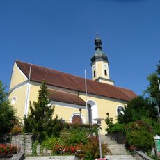
Sankt Elisabeth (Blaibach)
6.1 km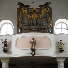
Katholische Expositurkirche St. Bartholomäus
4.3 km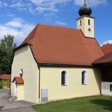
Katholische Filialkirche Stephanus
6.4 km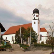
St. Martin (Konzell)
6.6 km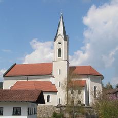
Pfarrkirche St. Georg
5 km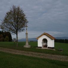
Feldkapelle
5.1 km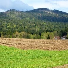
Oberer Bayerischer Wald
2.4 km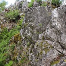
Moosbacher Pfahl
1.5 km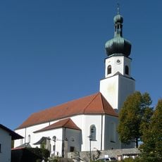
St. Johannes
943 m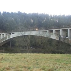
Eisenbahnbrücke über den Regen
5.7 km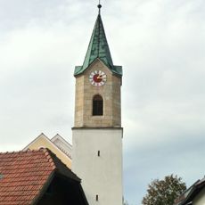
Pfarrkirche
3.7 km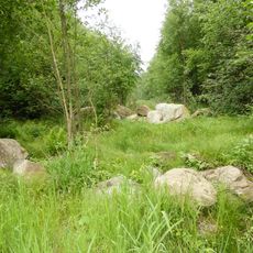
Solifluktionsblöcke im Prackenbachtal
6 km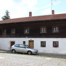
Bauernhaus
6.4 km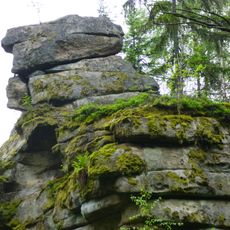
Teufelsmühle bei Oberstein
3.8 km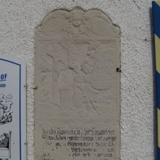
Eingelassener Grabstein
6.1 km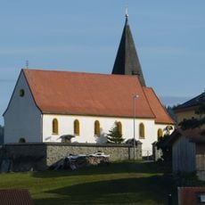
St. Peter und Paul
5 km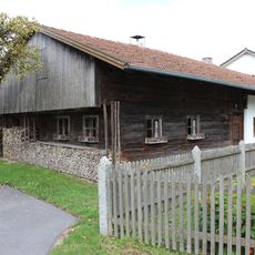
Waldlerhaus
6.2 km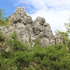
Moosbacher Pfahl NE von Moosbach
1.5 km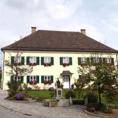
Pfarrhaus
6.6 kmReviews
Visited this place? Tap the stars to rate it and share your experience / photos with the community! Try now! You can cancel it anytime.
Discover hidden gems everywhere you go!
From secret cafés to breathtaking viewpoints, skip the crowded tourist spots and find places that match your style. Our app makes it easy with voice search, smart filtering, route optimization, and insider tips from travelers worldwide. Download now for the complete mobile experience.

A unique approach to discovering new places❞
— Le Figaro
All the places worth exploring❞
— France Info
A tailor-made excursion in just a few clicks❞
— 20 Minutes