
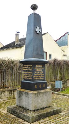
Kriegerdenkmal für 1870/71, obelisk auf Inschriftsockel, Marmor und Granit, um 1880 von Lochner
Location: Hemau
Address: Nähe Ringweg
GPS coordinates: 49.05106,11.78481
Latest update: March 8, 2025 18:44
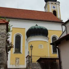
St. Johannes (Hemau)
271 m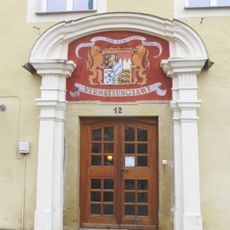
Neues Schloss (Hemau)
279 m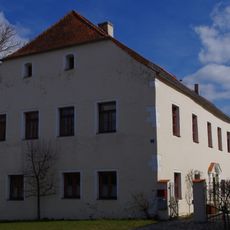
Schloss Kollersried
279 m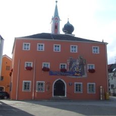
Altes Rathaus
212 m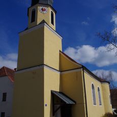
St. Jakobus der Ältere
2.5 km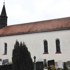
Katholische Neben- und Friedhofskirche St. Salvator
143 m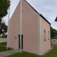
Kriegergedächtniskapelle Hemau
317 m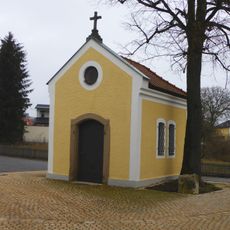
Kapelle St. Maria
65 m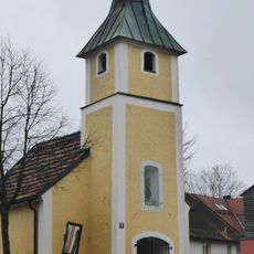
Katholische Bergkapelle zum Gegeißelten Heiland
393 m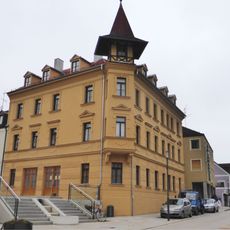
Wohn- und Geschäftshaus
219 m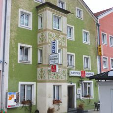
Gasthaus Schlossbräu
154 m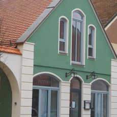
Ehemaliges Feuerwehrhaus
48 m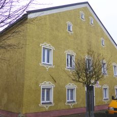
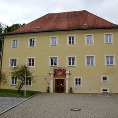
Neues Schloss
325 m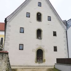
Ehemaliger Zehentstadel
255 m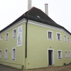
Ehemaliges Gefängnis
133 m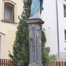
Marienfigur auf Sockel
293 m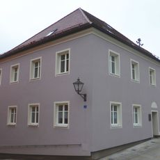
Alter Pfarrhof
224 m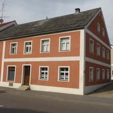
Wohnhaus
410 m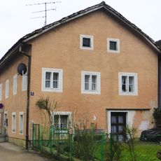
Wohnhaus
153 m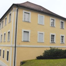
Rathaus
280 m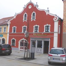
Wohn- und Geschäftshaus
146 m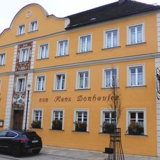
Gasthaus
83 m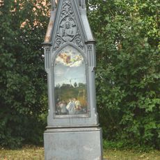
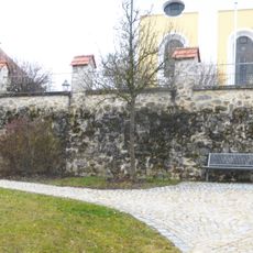
Restabschnitte der Stadtmauer
212 m
Gasthof Post
274 m
Wohnhaus
71 m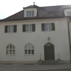
Postgebäude mit Wohntrakt
554 mReviews
Visited this place? Tap the stars to rate it and share your experience / photos with the community! Try now! You can cancel it anytime.
Discover hidden gems everywhere you go!
From secret cafés to breathtaking viewpoints, skip the crowded tourist spots and find places that match your style. Our app makes it easy with voice search, smart filtering, route optimization, and insider tips from travelers worldwide. Download now for the complete mobile experience.

A unique approach to discovering new places❞
— Le Figaro
All the places worth exploring❞
— France Info
A tailor-made excursion in just a few clicks❞
— 20 Minutes