
Neukircher Straße 59, Wohnhaus in Wilthen
Location: Wilthen
Inception: 1900
Address: Neukircher Straße 59
GPS coordinates: 51.09771,14.37706
Latest update: March 7, 2025 13:21

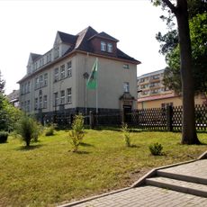
Pumphut-Grundschule
1.2 km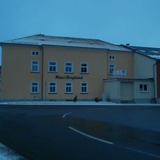
Haus Bergland
686 m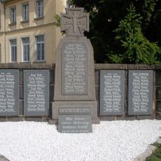
Denkmal für die Gefallenen des Ersten Weltkrieges in Tautewalde
1.2 km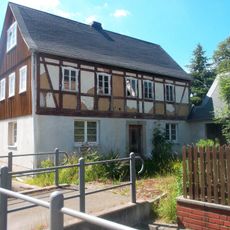
Mittelstraße 105
1.1 km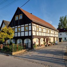
Mittelstraße 37
475 m
Dresdener Straße 17 Wilthen
683 m
Buchenwaldgebiet Wilthen
1.1 km
Umgebindeteil eines Wohnstallhauses Mittelstraße 72
1.1 km
Wohnstallhaus (Umgebinde) und Granittrog Neukircher Straße 46
160 m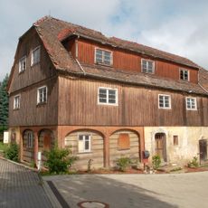
Dresdener Straße 16 Wilthen
620 m
Gasthaus mit späterem Kino-Anbau
836 m
Wohnhaus (Umgebinde) Grenzweg 2
1.2 km
Tautewalde 40
1.1 km
Tautewalde 50
1.2 km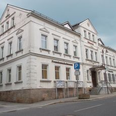
Fremdenverkehrsamt in Wilthen
855 m
Bahnhofstraße 10
845 m
Bahnhofstraße 3
865 m
Dresdener Straße 2 Wilthen
780 m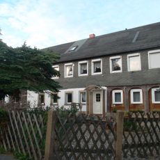
Wohnstallhaus (Umgebinde) mit integriertem Wirtschaftsteil Pichoweg 4
487 m
Wohnstallhaus (ehemals Umgebinde) mit Oberlaube und angebauter Scheune Am Mühlendamm 13
1.1 km
Schulstraße 17
970 m
Wohnstallhaus (Umgebinde) und Ausgedingehaus mit integrierter Scheune Zittauer Straße 37a
1.2 km
Wohnstallhaus (Umgebinde) Dresdener Straße 12
685 m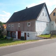
Schulstraße 28
1.2 km
Schule und Trog Tautewalde 24b
1.3 km
Neukircher Straße 31
389 m
Mittelstraße 27
331 m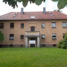
Wohnhaus Dresdener Straße 15
715 mReviews
Visited this place? Tap the stars to rate it and share your experience / photos with the community! Try now! You can cancel it anytime.
Discover hidden gems everywhere you go!
From secret cafés to breathtaking viewpoints, skip the crowded tourist spots and find places that match your style. Our app makes it easy with voice search, smart filtering, route optimization, and insider tips from travelers worldwide. Download now for the complete mobile experience.

A unique approach to discovering new places❞
— Le Figaro
All the places worth exploring❞
— France Info
A tailor-made excursion in just a few clicks❞
— 20 Minutes