
Streckenmarkierungsstein Nr. 1
Streckenmarkierungsstein Nr. 1, Streckenmarkierungsstein Nr. 1 der Straße Pomßen–Bad Lausick, typische Ausführung in Sandstein mit oben abgerundetem Abschluss, verkehrsgeschichtlich von Bedeutung
Location: Parthenstein
Address: Hauptstraße -
GPS coordinates: 51.22995,12.60727
Latest update: September 25, 2025 07:35

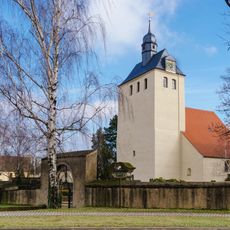
Wehrkirche Pomßen
1.1 km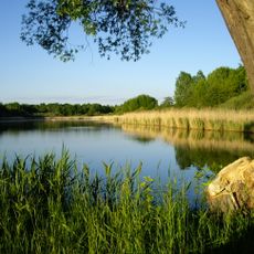
Rohrbacher Teiche
2.7 km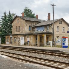
Großsteinberg railway station
3.1 km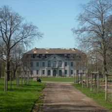
Otterwisch Castle
3.1 km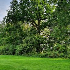
Oak (southly) at the mill pond (Pomßen)
1.7 km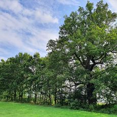
Oak (northly) at the mill pond (Pomßen)
1.7 km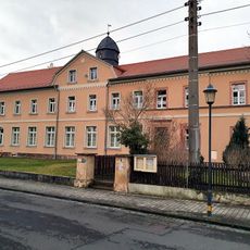
Pomßener Schule
1.2 km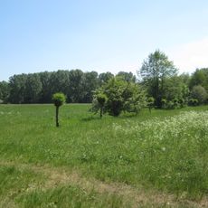
Partheaue
2.3 km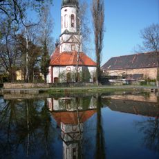
Dorfkirche Otterwisch
2.9 km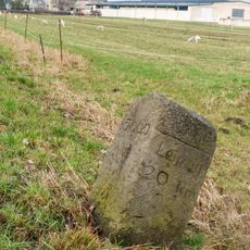
Streckenmarkierungsstein Nr. 15
1 km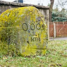
Streckenmarkierungsstein Ausgangsstein Nr. 0
942 m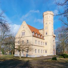
Schloss Pomßen
810 m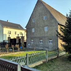
Hauptstraße 12
966 m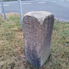
Waystone Pomßen
1.1 km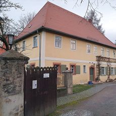
Hauptstraße 31
1.1 km
Hauptstraße 32
993 m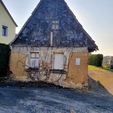
Otterwischer Straße 4
864 m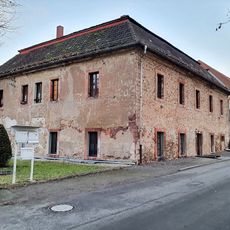
Schloßstraße 1
977 m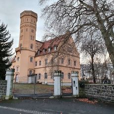
Castle and Manor Pomßen
916 m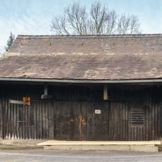
Storage building from water mill Pomßen
1.8 km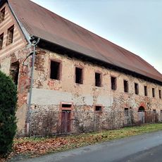
Schloßstraße 3
961 m
Forsthaus eines Vorwerkes Blaufichtenweg 4
3.1 km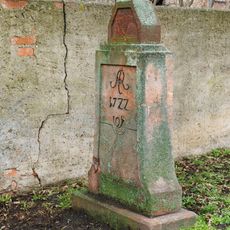
Viertelmeilenstein Pomßen
976 m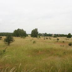
Laubwaldgebiete der Oberen Partheaue
2.5 km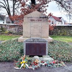
Gefallenendenkmal Pomßen
1.1 km
Hauptstraße 20
981 m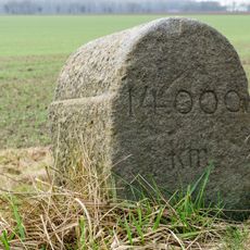
Streckenmarkierungsstein Nr. 14
1 km
Alte Dorfstraße 11
3.2 kmReviews
Visited this place? Tap the stars to rate it and share your experience / photos with the community! Try now! You can cancel it anytime.
Discover hidden gems everywhere you go!
From secret cafés to breathtaking viewpoints, skip the crowded tourist spots and find places that match your style. Our app makes it easy with voice search, smart filtering, route optimization, and insider tips from travelers worldwide. Download now for the complete mobile experience.

A unique approach to discovering new places❞
— Le Figaro
All the places worth exploring❞
— France Info
A tailor-made excursion in just a few clicks❞
— 20 Minutes