
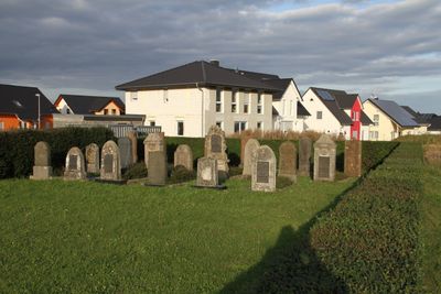
Jüdischer Friedhof, jewish cemetery in Hörnsheim, Germany
Location: Hüttenberg
Address: Außerhalb der Ortslage, Stieläcker
GPS coordinates: 50.51961,8.61817
Latest update: March 24, 2025 00:28
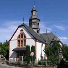
Evangelische Kirche Hochelheim
914 m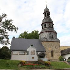
Evangelische Kirche (Hörnsheim)
703 m
Hauptstraße 192
807 m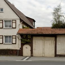
Hauptstraße 188
780 m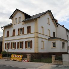
Hauptstraße 185
932 m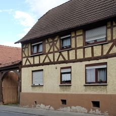
Hauptstraße 90
673 m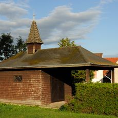
Friedhofshalle
843 m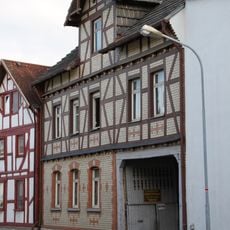
Langgönser Straße 10
847 m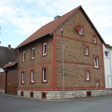
Ringstraße 30
986 m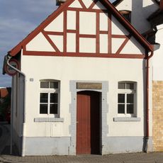
Backhaus
1.1 km
Hauptstraße 55
824 m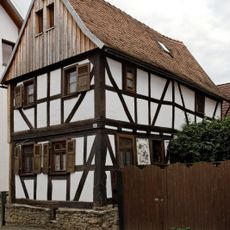
Ringstrasse 8
900 m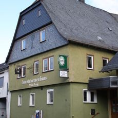
Steinernes Haus
761 m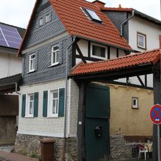
Lohstraße 3
783 m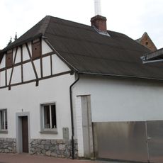
Backhaus
772 m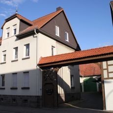
Hauptstraße 28
1.1 km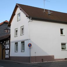
Wetzlarer Straße 4
773 m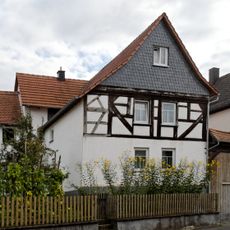
Rheinfelser Straße 23
1.8 km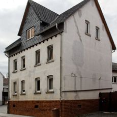
Hauptstraße 123
515 m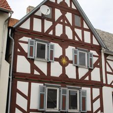
Hauptstraße 137
643 m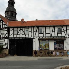
Hauptstraße 147
724 m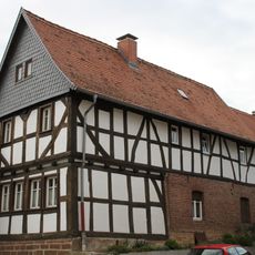
Hauptstraße 153
765 m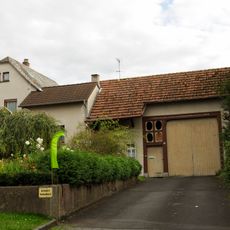
Rheinfelser Straße 19
1.8 km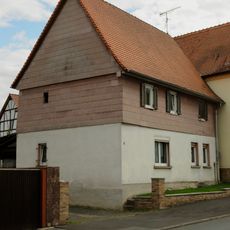
Rheinfelser Straße 9
2 km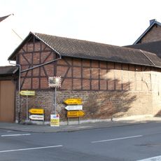
Langgönser Straße 2
824 m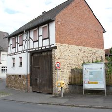
Rheinfelser Straße 21
1.8 km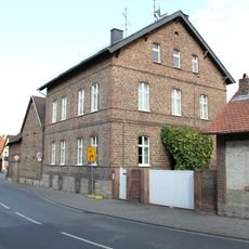
Ehemaliges Pfarrhaus
846 m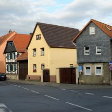
Gesamtanlage Ortskern Hochelheim
1 kmReviews
Visited this place? Tap the stars to rate it and share your experience / photos with the community! Try now! You can cancel it anytime.
Discover hidden gems everywhere you go!
From secret cafés to breathtaking viewpoints, skip the crowded tourist spots and find places that match your style. Our app makes it easy with voice search, smart filtering, route optimization, and insider tips from travelers worldwide. Download now for the complete mobile experience.

A unique approach to discovering new places❞
— Le Figaro
All the places worth exploring❞
— France Info
A tailor-made excursion in just a few clicks❞
— 20 Minutes