
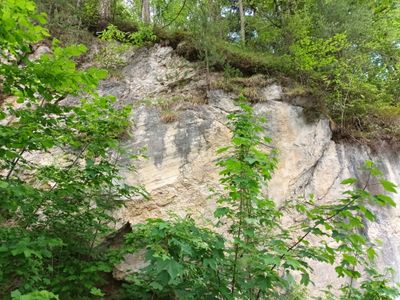
Harnischfläche am Kobelweg in Bad Faulenbach
Harnischfläche am Kobelweg in Bad Faulenbach, geotope in Landkreis Ostallgäu in Bavaria, Germany
Location: Füssen
Elevation above the sea: 830 m
Length: 30 m
Width: 5 m
GPS coordinates: 47.56576,10.69048
Latest update: March 3, 2025 02:01
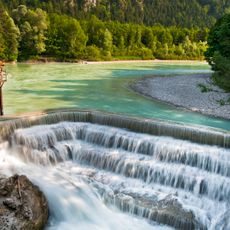
Lechfall
552 m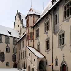
High Castle of Füssen
591 m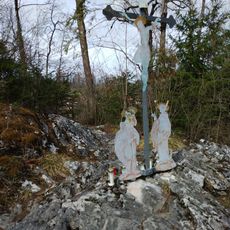
Magnustritt
478 m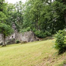
Baumgarten
406 m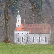
Filialkirche Unserer Lieben Frau am Berg
644 m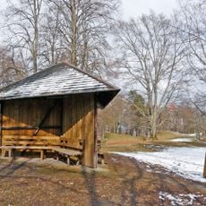
Wooden pavilion
279 m
St. Max
206 m
Schutz von Landschaftsteilen im Bereich des Faulenbacher Tales, des Lechtales, des Schwanseetales und des Alpseegebietes im Landkreis Füssen
484 m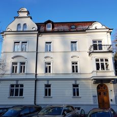
Kemptener Straße 2
519 m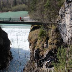
Lechfall und Klamm
504 m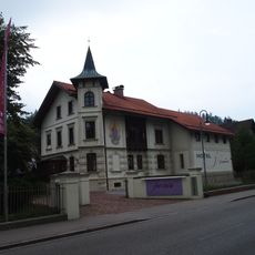
Ottostraße 1
574 m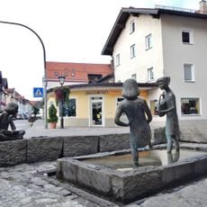
Mädchenbrunnen
554 m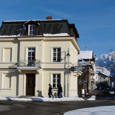
Glückstraße 2
438 m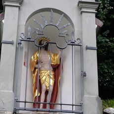
Shrine of the Resurrected Christ
315 m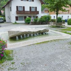
Brunnen am Dorfplatz Bad Faulenbach
69 m
Traufseithaus
644 m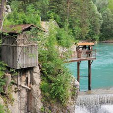
Wassertriebanlage
506 m
Office building Hanfwerke Füssen
487 m
Wohnhaus
658 m
Ritterstraße 14
590 m
Ritterstraße 17
627 m
Well house
498 m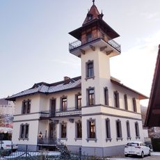
Von-Freyberg-Straße 5
613 m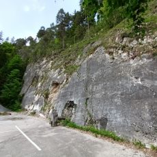
Harnischfläche W von Bad Faulenbach
326 m
Ritterstraße 2
665 m
Giebelständiges Flachdachhaus
621 m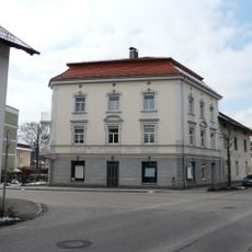
Wohnhaus
622 m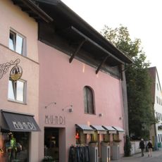
Nebengebäude
582 mReviews
Visited this place? Tap the stars to rate it and share your experience / photos with the community! Try now! You can cancel it anytime.
Discover hidden gems everywhere you go!
From secret cafés to breathtaking viewpoints, skip the crowded tourist spots and find places that match your style. Our app makes it easy with voice search, smart filtering, route optimization, and insider tips from travelers worldwide. Download now for the complete mobile experience.

A unique approach to discovering new places❞
— Le Figaro
All the places worth exploring❞
— France Info
A tailor-made excursion in just a few clicks❞
— 20 Minutes